Today I’m looking back at a hike we did last January at Devil’s Den State Park in Arkansas.
Yellow Rock
My husband and I were able to schedule a babysitter so that we could hike the Yellow Rock Trail (3 miles) and the Devil’s Den Self Guided Trail (1.5 miles) back-to-back.
Pairing these two hikes makes a great combination because you get the views from Yellow Rock and great waterfalls and caves/rock formations on the Devil’s Den Self-Guided Trail. In a short amount of time, you get a good taste of what makes Arkansas hiking so incredible.
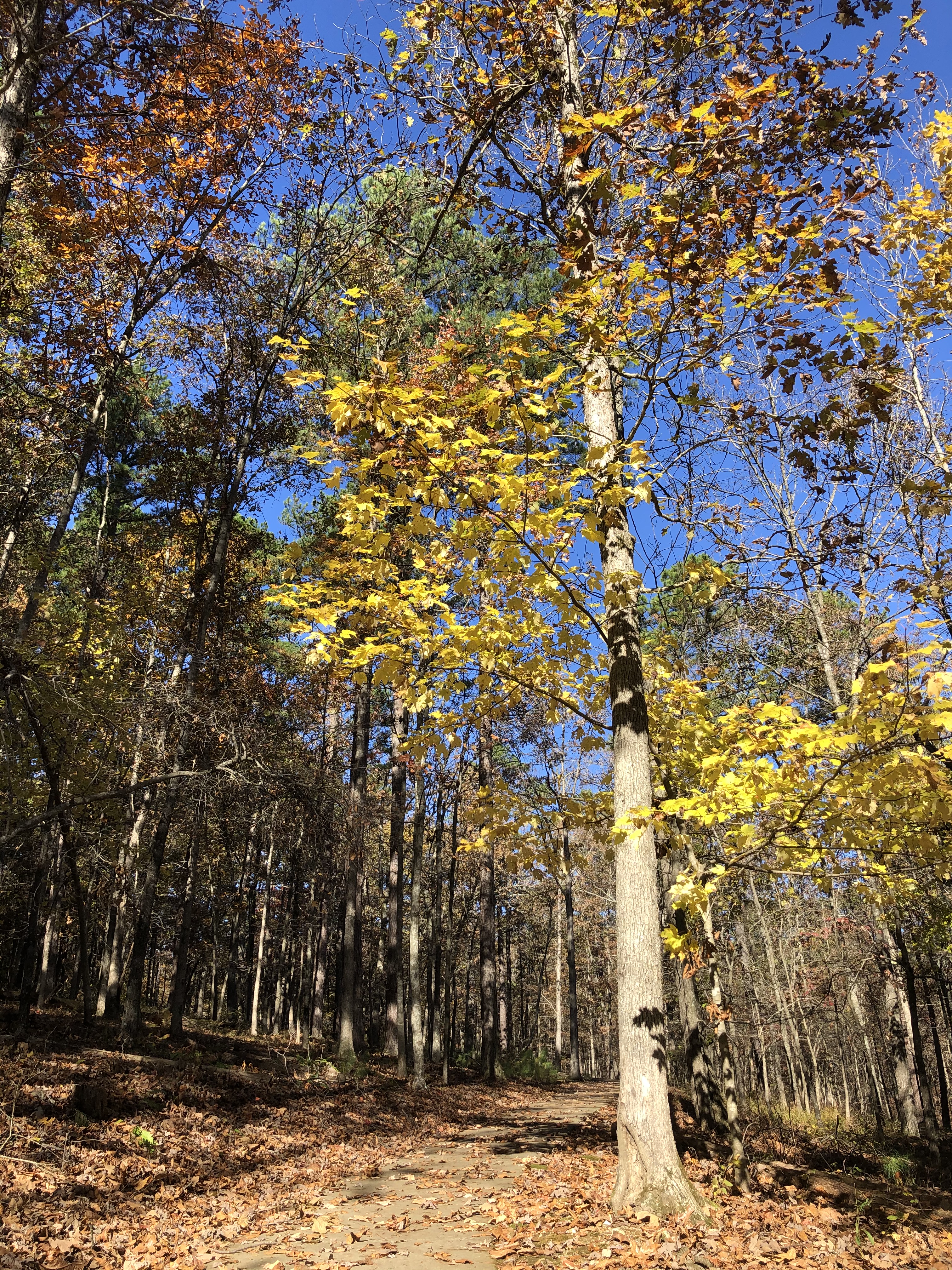
January is typically cold in Arkansas, but when the sun is shining, winter is one of my favorite times to hike in the Natural State.
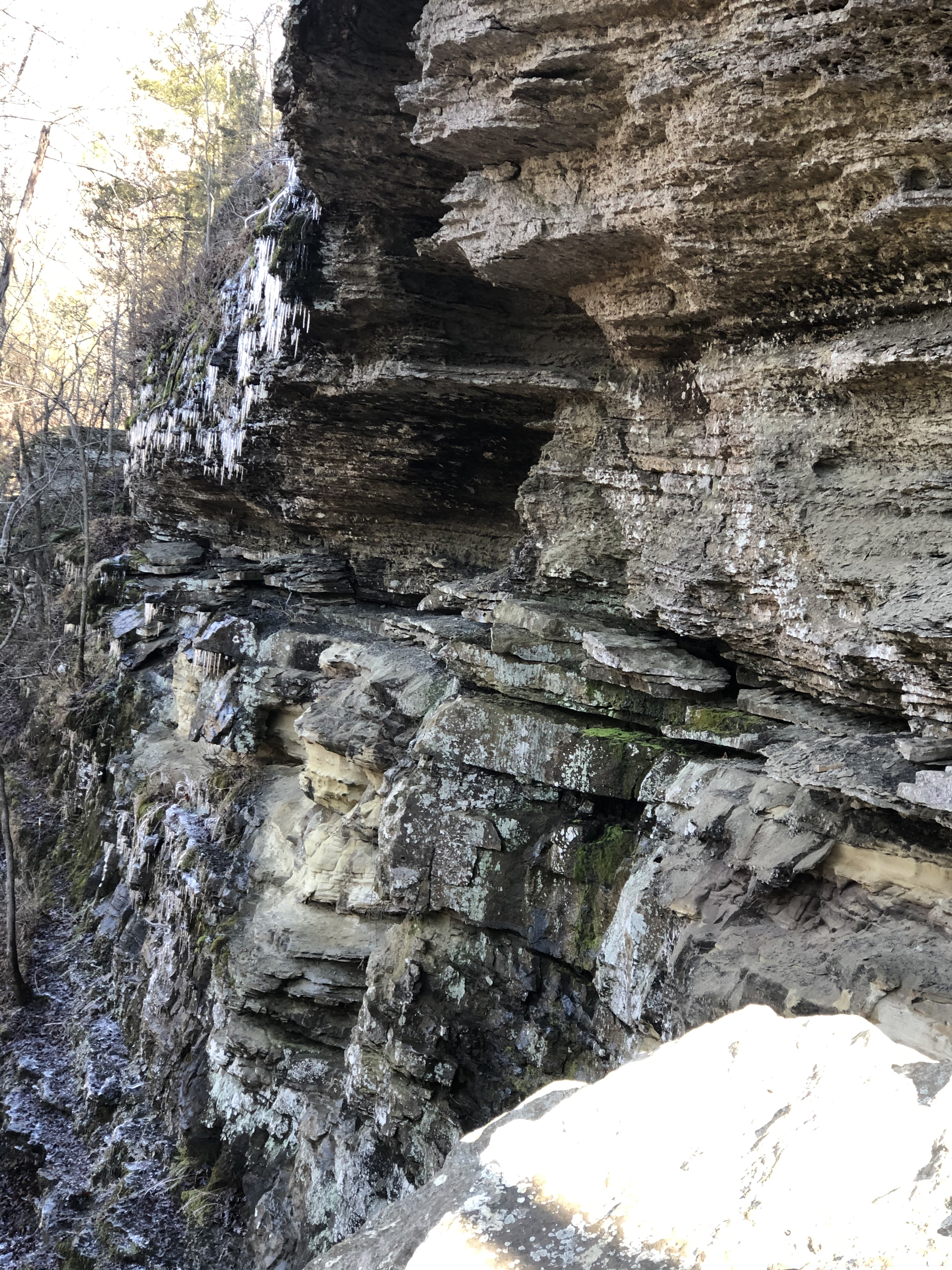
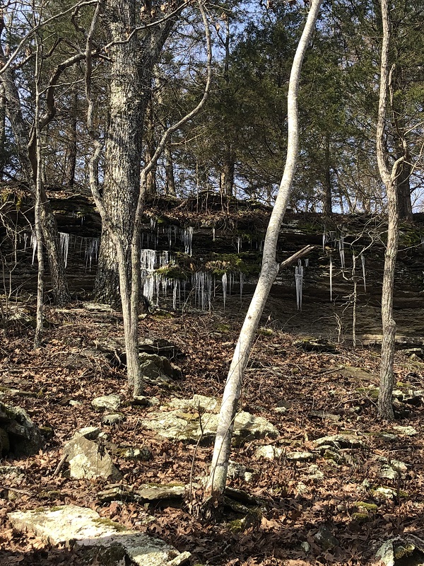
rock formations decorated with icicles.
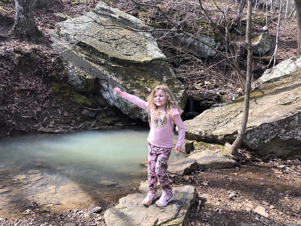
Arkansas waterfalls
Melting icicles and snow led to more active water flow. We spotted extra waterfalls along the Self-Guided trail compared to when we hiked it during the hot summer months.
helpful links
On previous trips to Devil’s Den State park, we hiked the Yellow Rock trail with our kids which I wrote about here. We also hiked the Self-Guided Trail and wrote about that here.
Devil’s Den State Park website includes hours, directions, and additional trail information.
Hike-it-baby’s website reviews the Yellow Rock trail and gives great pointers about hiking with children and pets on this trail.
At 2,753 feet in elevation, Mount Magazine is the highest point in Arkansas. Visitors can enjoy recreational activities including hiking, mountain biking, wildlife viewing, rock climbing, and hang gliding. Additional amenities include a restaurant and pool at the lodge.
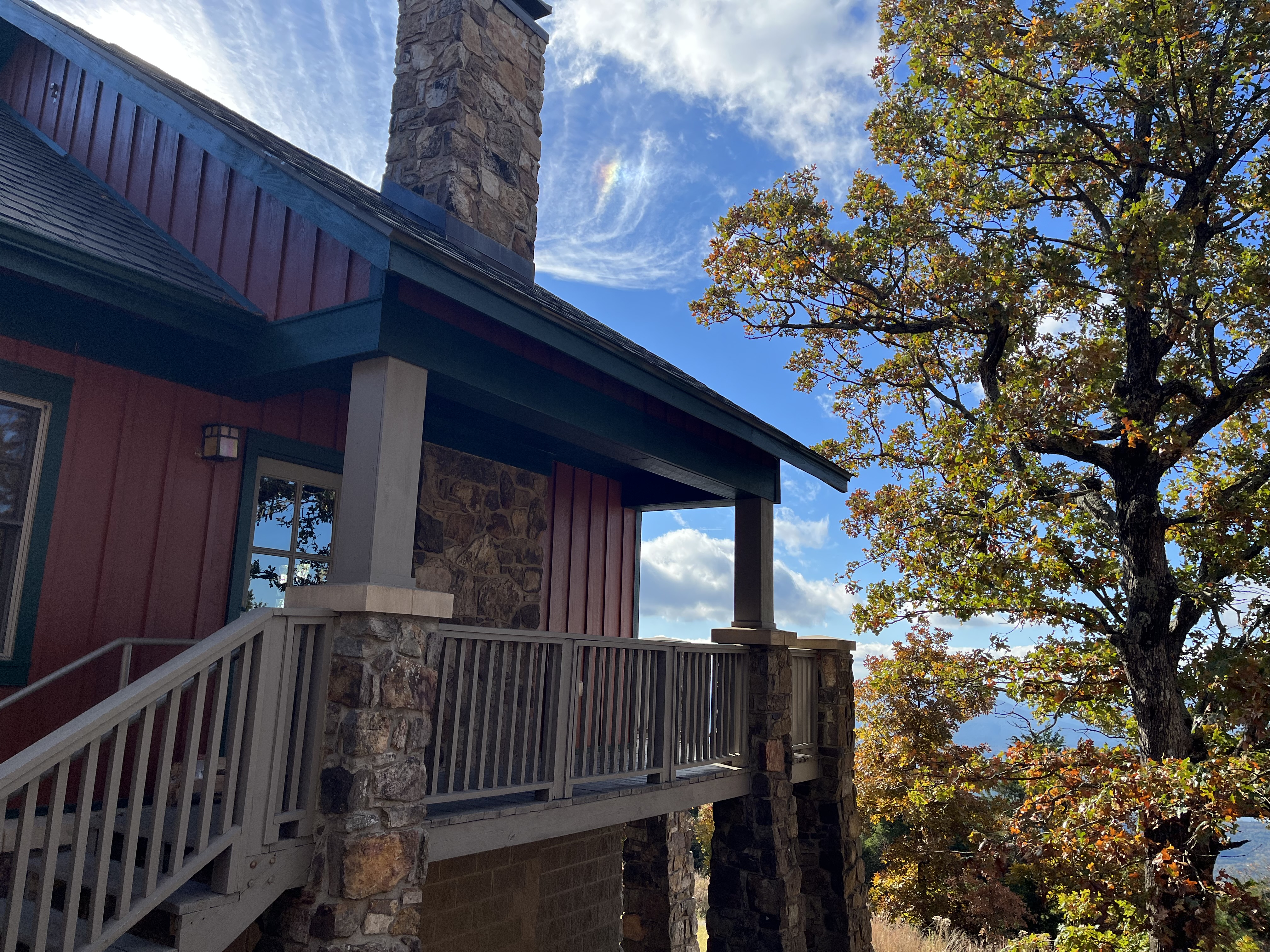
Mount Magazine State Park is in Paris, Arkansas which is two hours south of our home in Fayetteville, Arkansas. We recently booked a cabin for a weekend stay. We pulled up to the cabin and my first impression was that it was big and gorgeous and completely exceeded my expectations.
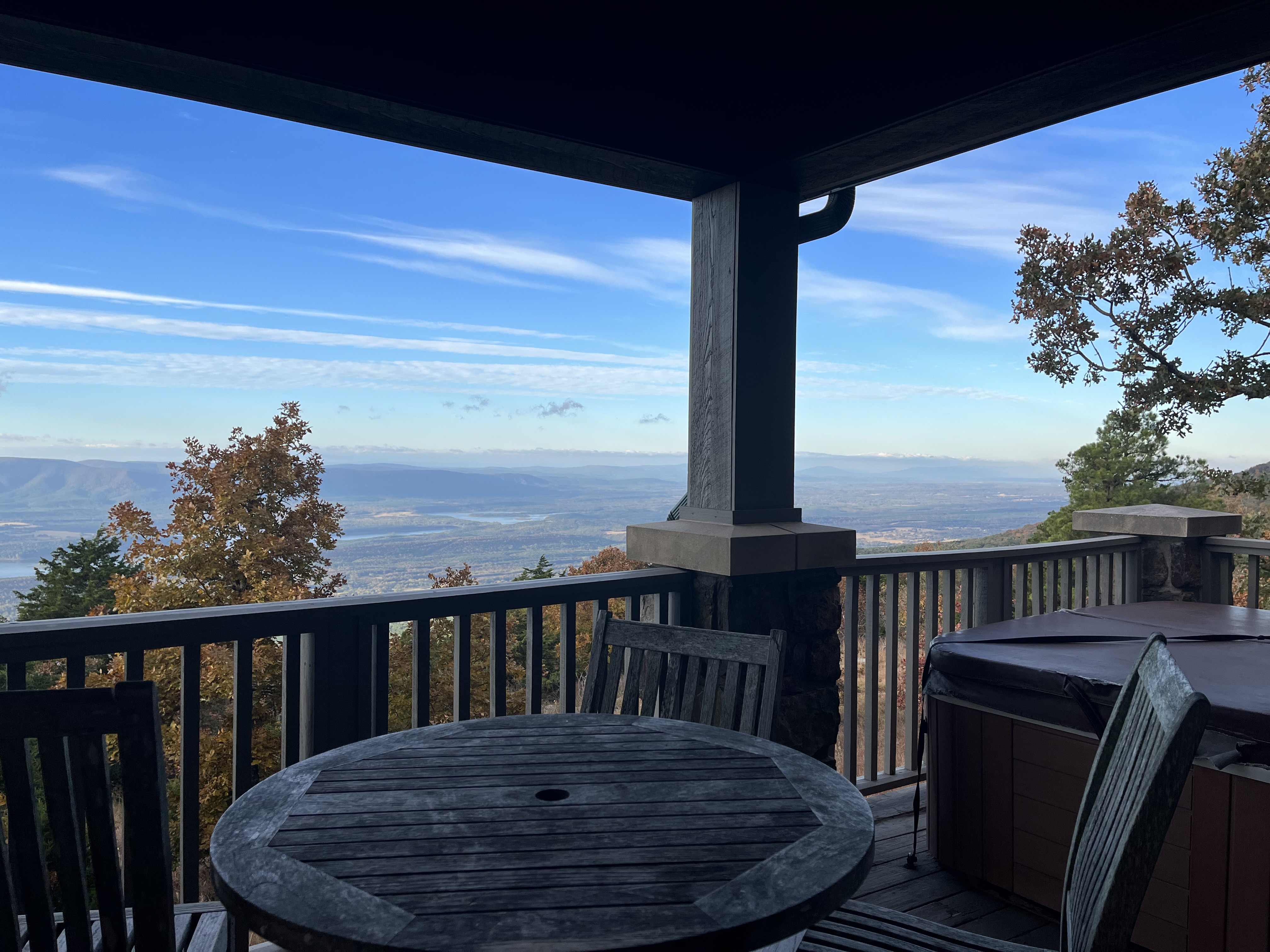
The cabin we rented had two bedrooms and two bathrooms along with a wraparound deck where we could take in the amazing views of the Petit Jean River Valley.
One of our favorite things about the cabin was the private hot tub. We enjoyed relaxing under the stars each night. Additional outdoor amenities include a charcoal grille and picnic table.
Vaulted wood ceilings, a stone fireplace, and leather couches created a cozy atmosphere inside the cabin. There was a full kitchen where we could make our own meals.
mount magazine lodge
Sunset over Lodge at Mount Magazine
The cabins are spaced far enough a part that I felt we had enough privacy, but they are also close enough to the lodge that it is easy (and beautiful) to walk there. The lodge has sixty guest rooms and fabulous amenities including an indoor swimming pool and a gift shop.
mount magazine lodge restaurant
We enjoyed breakfast and dinner at Skycrest Restaurant at the lodge. The food was good, and the views were unbelievable.
You can make reservations for the cabins, lodge, or campsites at Mount Magazine on the state park’s website.
Overall, I was blown away by Mount Magazine’s views and accommodations. It was such an easy, relaxing trip.
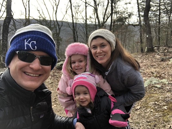
This weekend we celebrated Valentine’s Day with candy, flowers, a nice dinner, and an adventurous family hike in Devil’s Den State Park. The park is located in West Fork, Arkansas which is a 30 to 40 minute drive from our new hometown of Fayetteville, Arkansas.
This was our second visit to Devil’s Den. On our first trip, we enjoyed the Devil’s Den Self Guided trail. This time we decided to try the Yellow Rock trail.
The sun was out and the temperature was in the mid-40’s when we began our winter hike.
We recently purchased a helpful guidebook, Arkansas Dayhikes for Kids & Families – 105 Easy Trails in the “Natural State”. The book points out that there are a couple options where you can start on the Yellow Rock trail. You can start in Camp Area A, or at the CCC overlook. Following the advice of author Pam Ernst, we chose to start at the CCC overlook shelter.
CCC Overlook in Devil’s Den State Park
The Civilian Conservation Corps built this impressive rock structure in 1934. From this spot, we enjoyed expansive views of the Lee Creek Valley below.
Views from shelter area
The Yellow Rock trail is marked with white diamonds.
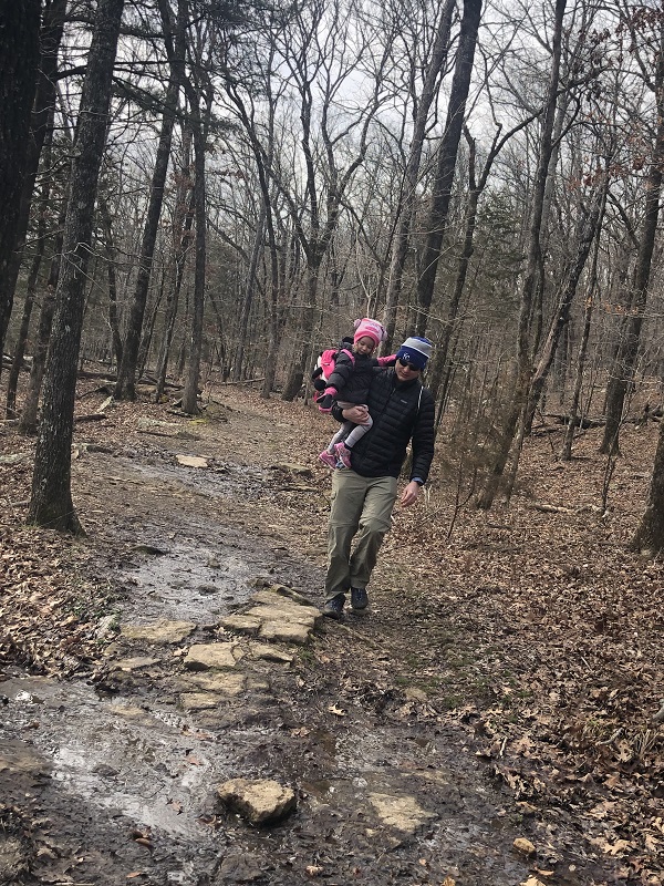
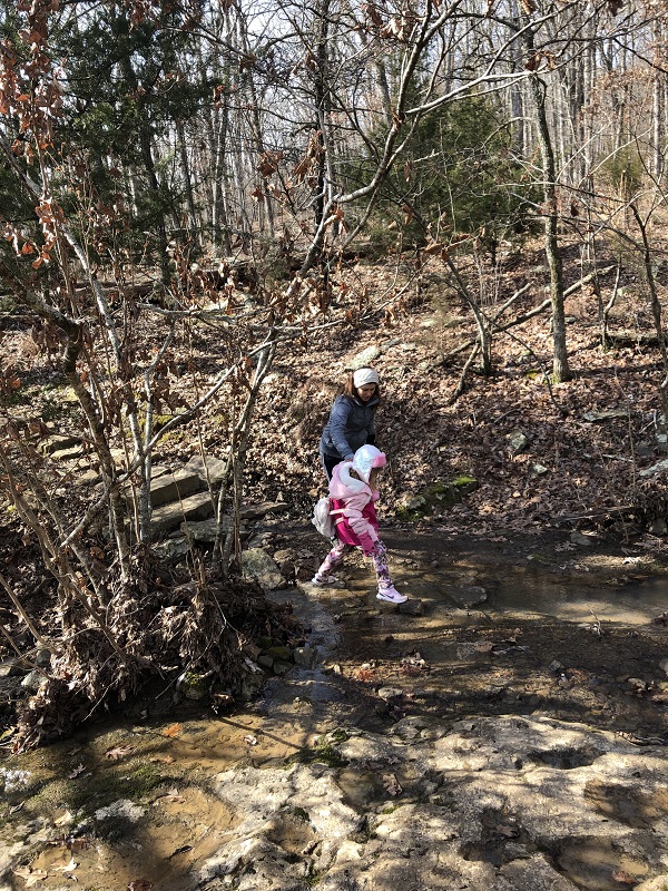
On our trip, there were several spots along the trail that were wet and muddy.
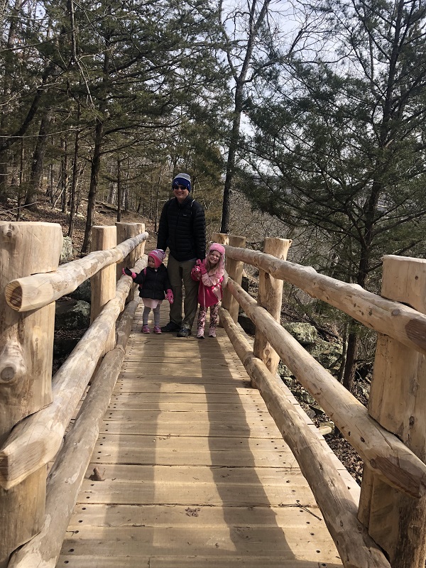
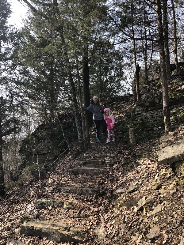
Crossing over a wooden bridgeClimbing uphillStepping on stones over waterTaking it nice and slow on a steep downhill section of the hikeIcicles glistening in the winter sunshine
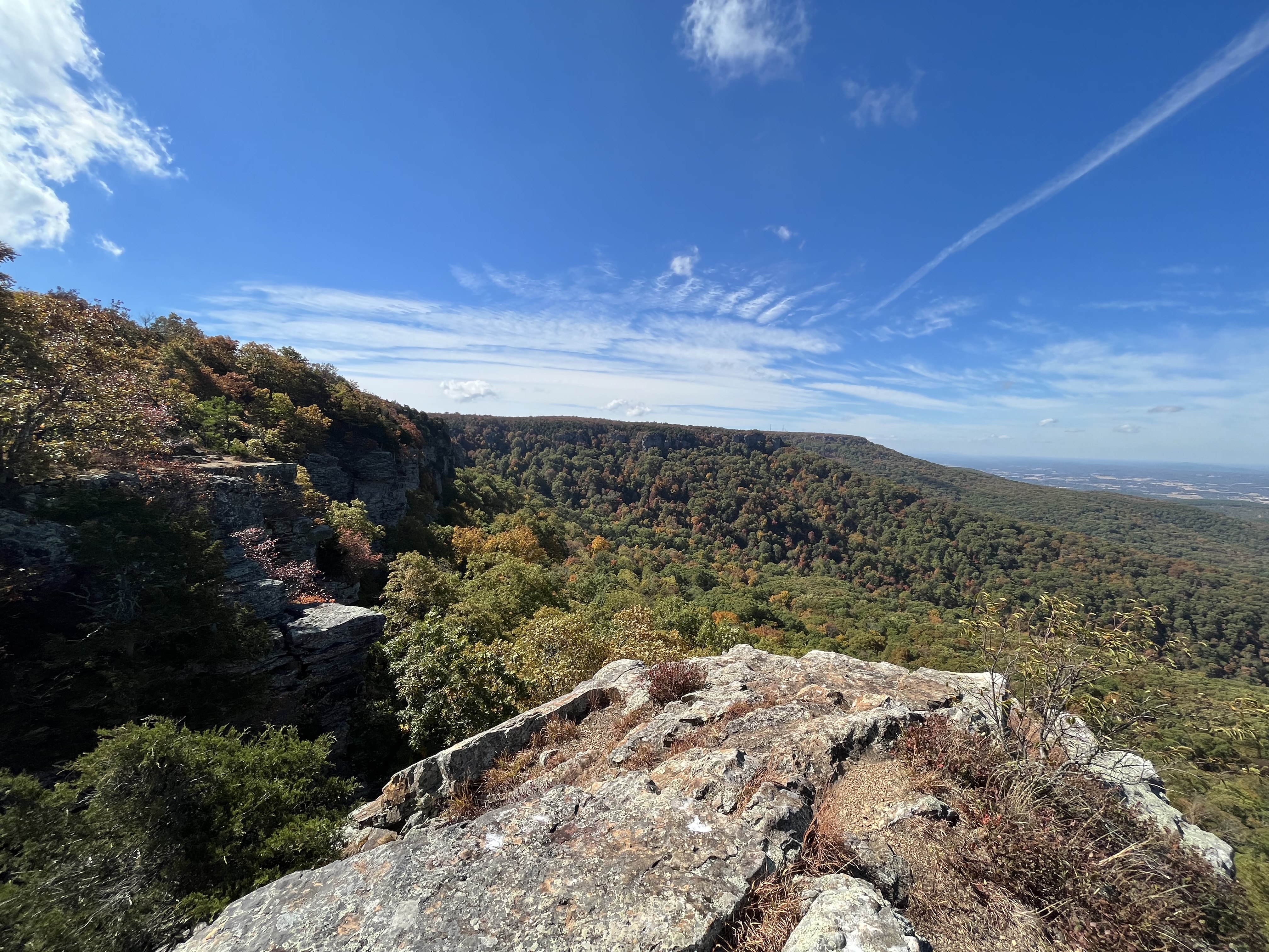
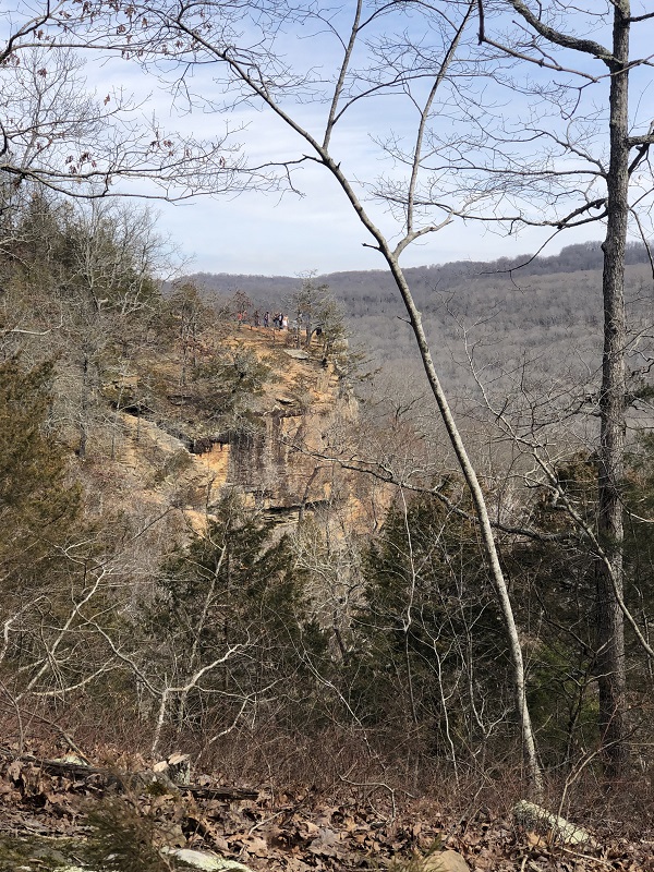
The views from the Yellow Rock overlook were impressive.
The drop offs are very steep from the top of Yellow Rock, so it was important to be extra cautious, but I was happy to find that there was enough space for the girls to safely eat a snack and rest.
Snack on Yellow Rock trail overlook
Although the overlook was the clear highlight of the hike, the rest of the trail is filled with gorgeous scenery from glimpses into the valley to little waterfalls spilling down rugged bluffs.
Small waterfall and pretty poolLooking back at Yellow Rock
Further along the trail, we could look back and see people enjoying the views on the Yellow Rock overlook. This was a popular spot. We saw some big groups hiking together, a couple young families like ours, and several people with their dogs.
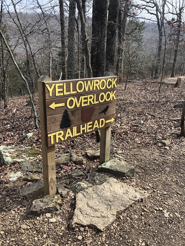
Trail signage points to overlook and trailhead
We took a right, heading back up towards our car instead of following the trail to the main trailhead that the signage points to.
Cedar trees
After our climb uphill, we enjoyed a nice flat section of the hike where large cedars towered on both sides of the trail. I would buy a candle that smelled like this.
My husband mapped our hike with his Garmin watch. According to GPS, we hiked a total of 2.3 miles.
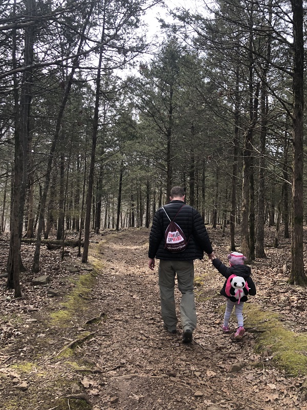
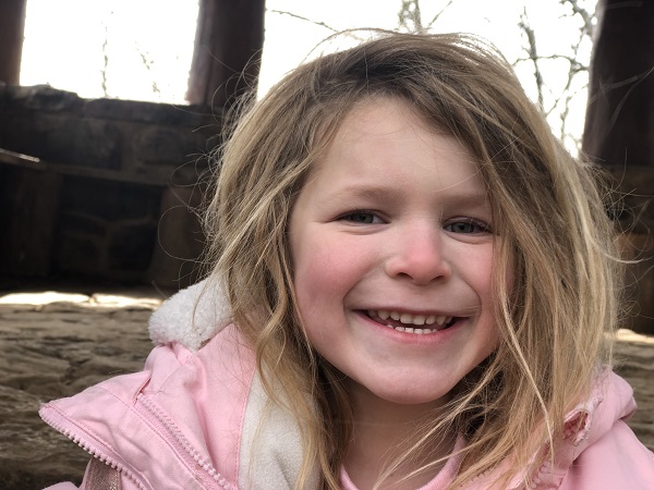
Our girls did great on the hike walking uphills, getting muddy, feeling a little cold, and altogether staying tough. We encouraged them with snacks waiting for them when we reached the overlook and also back at the car.
They also did a good job listening. There were definitely sections that we held on tight to their hands to help them across slippery wet rocks or to ensure they staid far away from steep drop-offs. Our three-year-old needed us to give her rest and so she was carried for big sections. I feel comfortable recommending this hike for young families, but just want to point out that the trail is rated as moderate and it’s not one where kids can run ahead of you on their own.