The longer I’m a Mom, the more I appreciate back up plans!
We arrived to Rocky Mountain National Park on a popular summer weekend so we couldn’t find a parking spot near the Fern Lake trailhead. The park had a great backup option. We were able to park at the Fern Lake Park & Ride lot (added a .7 mile walk each way on narrow, gravel road).
The hike begins on pretty flat terrain and follows the Big Thompson River. The area is lush with several access points to fish or picnic.
Big Thompson River
Cecy didn’t sleep well the night before our hike, so she started out pretty fussy. If she didn’t settle down and fall asleep in her carrier, our backup plan was to cut the hike a little shorter by stopping at either Arch Rocks or The Pool. Arch Rocks are 40ft vertical boulders that lean towards one another. They are huge!
Arch Rocks
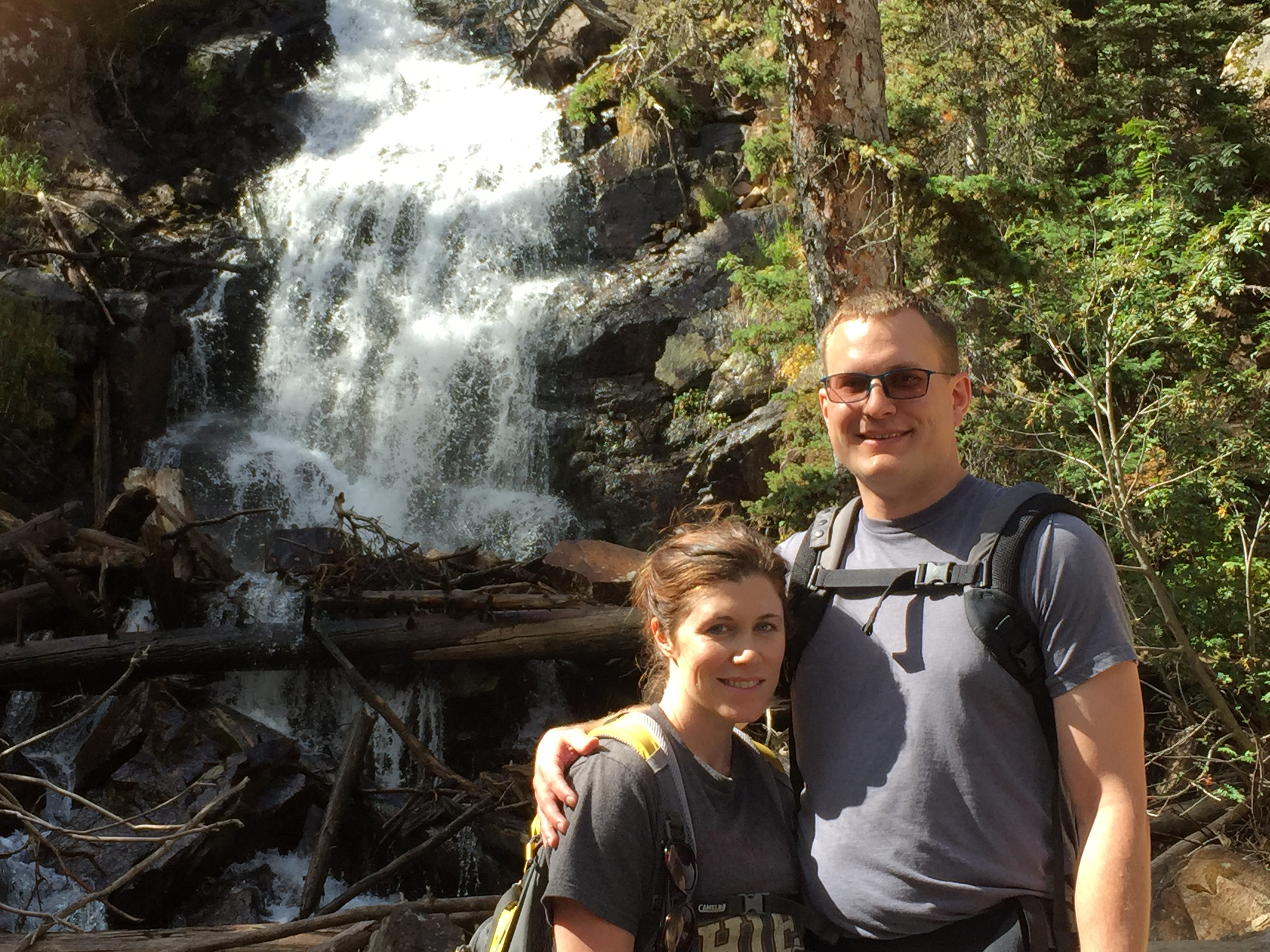
The final mile from The Pool to Fern Falls felt pretty steep, so I was relieved to see the waterfall and start our journey back.
A couple of days into our early October trip to Estes Park, I woke up ready for a little challenge. After reviewing some of my go-to Rocky Mountain National Park guidebooks, I convinced my husband that Estes Cone’s short distance at 3.3 miles each way would be doable with our little one. I underestimated this hike a bit…
There are a few ways you can get to Estes Cone and we chose the shortest distance by starting out at Longs Peak trailhead. This lot can fill up before dawn, but we arrived late into Longs Peak’s climbing season and easily found a parking spot.
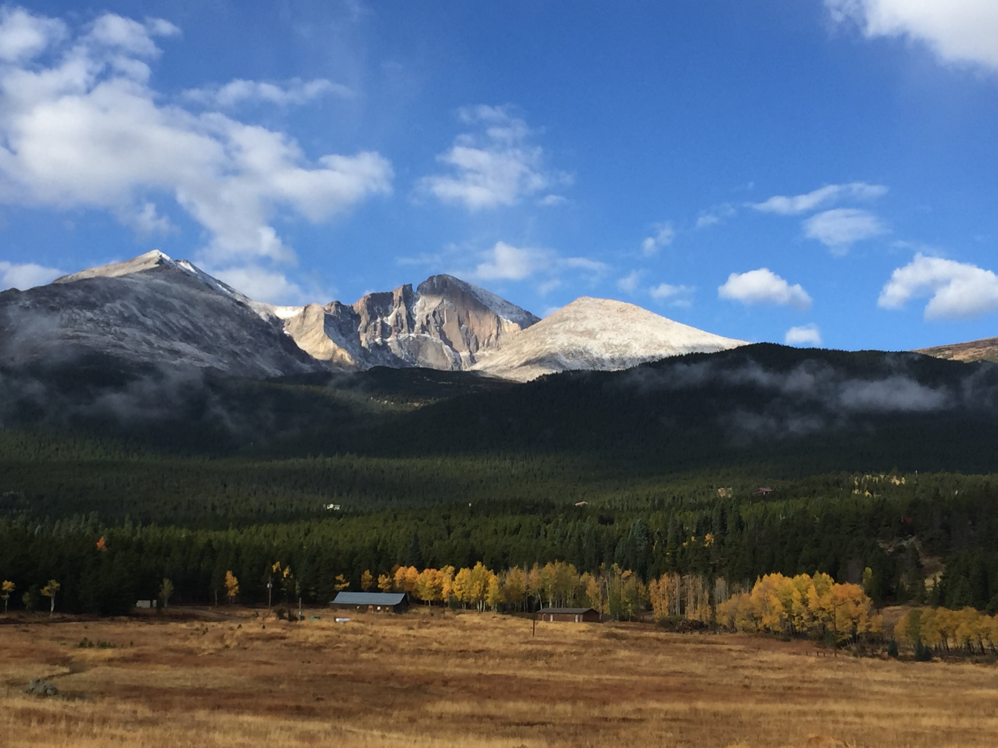
Longs Peak from road lookout
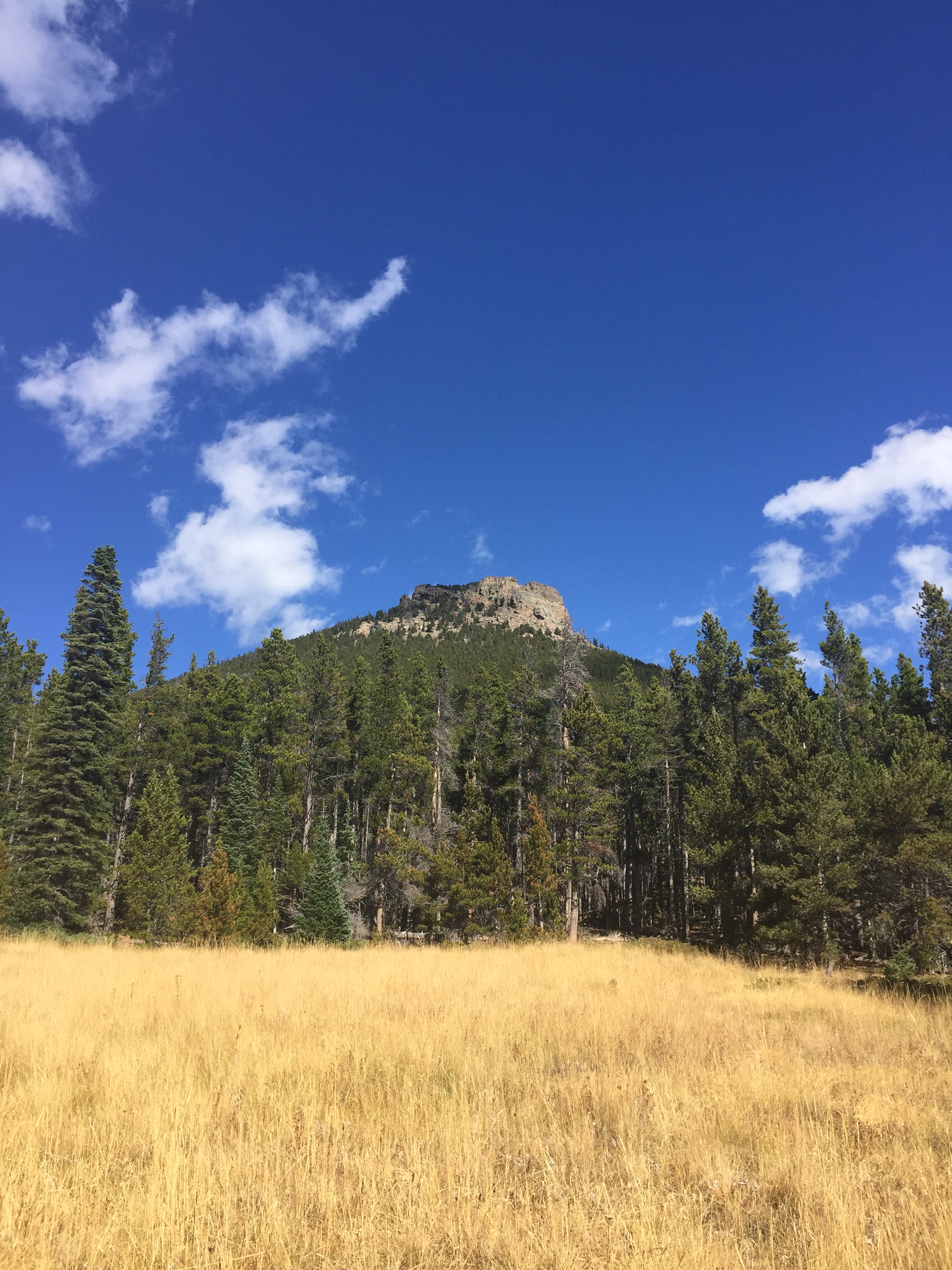
Estes Cone from parking area
We followed the Longs Peak trail for about .5 miles before the trail split off towards Estes Cone. From the turn, we hiked .8 miles to get to Eugenia Mine ruins which are marked by a sign that reads, “Eugenia Mine, at the turn of the century produced more dreams than gold”.
Keeping slightly right, we hiked beyond the ‘mine’ and soon found ourselves in a grassy clearing where we could spot our destination.
View from grassy clearing up to Estes Cone
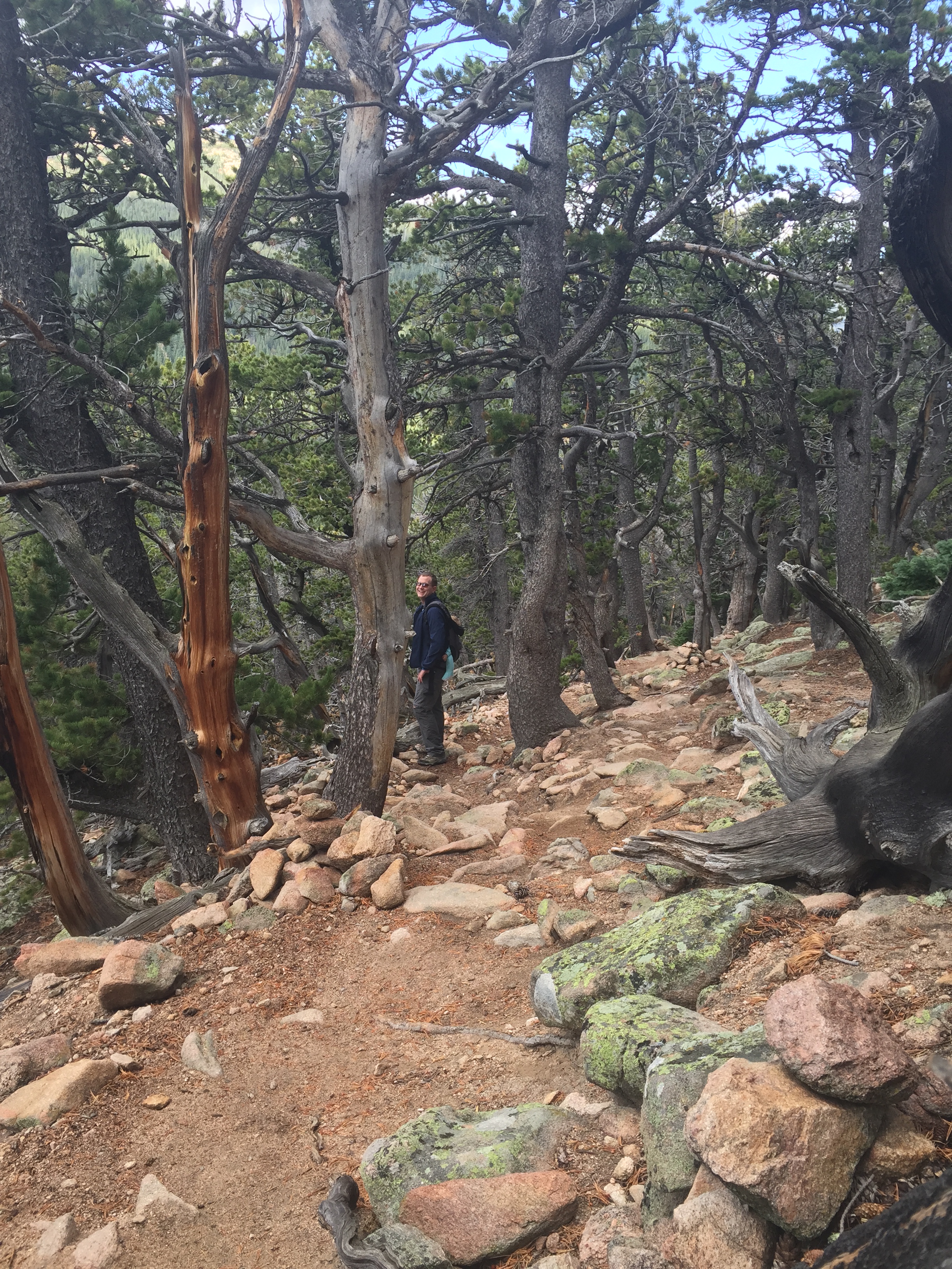
We followed the trail left back into the woods. This is when the trail starts to get noticeably steeper! The views of Longs Peak were really amazing though.
trail views of Longs Peak
2.5 miles into the hike the trail meets Storm Pass junction where you have the option to go on to Lily Lake or Bear Lake Road. We were huffing and puffing up the last .7 miles and began to worry that the trail was getting too steep to carry 10 month old Cecy safely up. My husband was nice enough to stay back with her so I could finish the last .3 miles of the climb solo.
Looking back down towards my husband and baby on steep trail
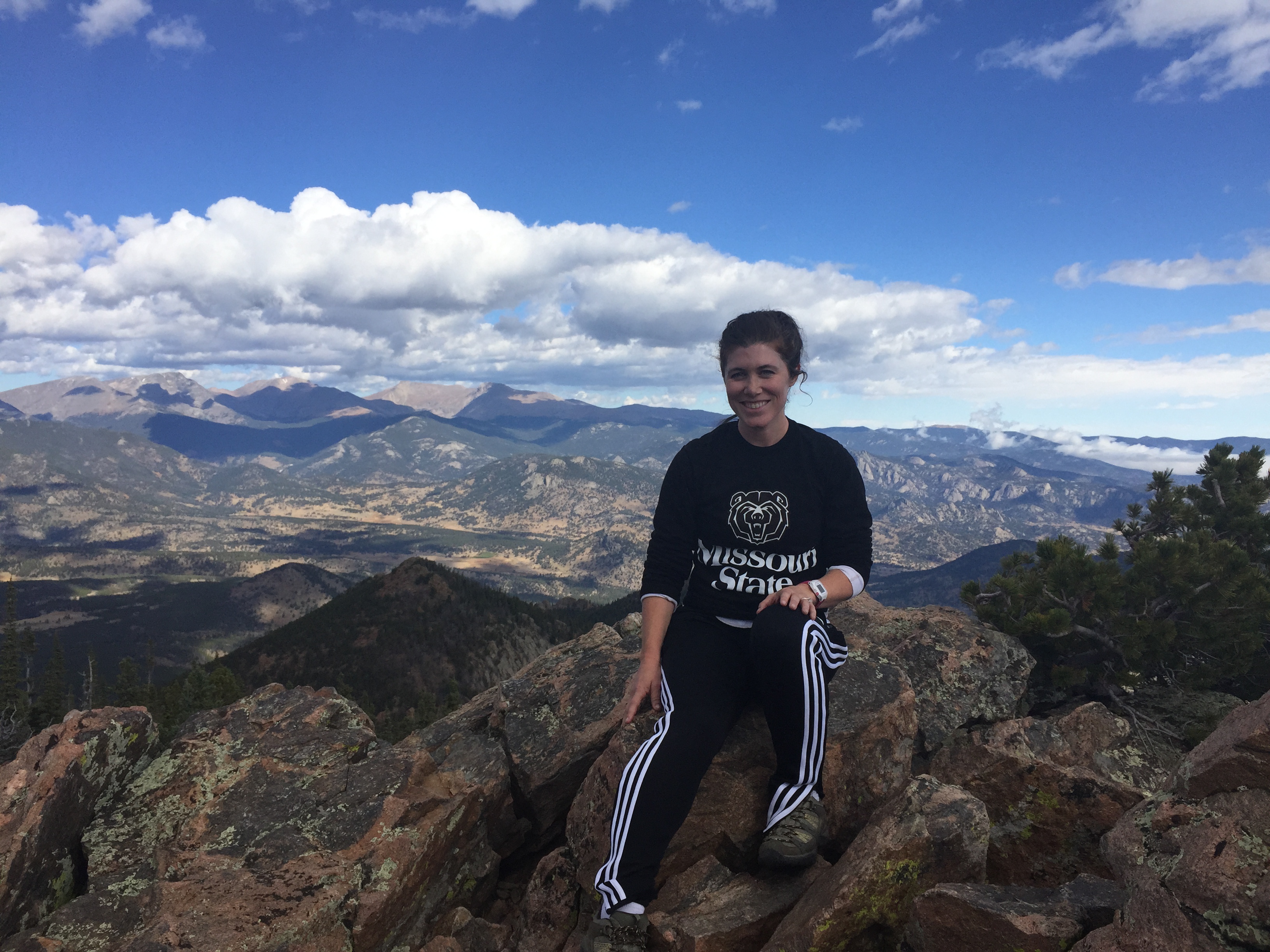
The views from Estes Cone made the steep hike worth it!
View from Estes Cone
Furry friends at the top
We celebrated hiking Estes Cone by going to downtown Estes Park for a waffle cone at our favorite ice cream shop, Hayley’s.
On a busy summer weekend at Rocky Mountain National Park we were disappointed when we had to park in the park & ride and cram on a shuttle to get to our hiking destination. The ride turned out to be great because our knowledgeable shuttle driver pointed out areas of interest as we passed by. One of his highlighted destinations was Bierstadt Lake. Our driver explained the lake was named after renowned 19th century landscape artist, Albert Bierstadt. Here is a link to Bierstadt’s work.
At the end of July we hiked to Bierstadt Lake with my daughter Cecy in her Ergobaby. There are several ways to get to the lake. We decided to start at Bear Lake trailhead which is two miles each way. The first .6 miles starts out along the Flattop Mountain route before splitting off.
Cecy at Bierstadt Lake
From the junction we followed the trail through forest away from the mountains. Once we arrived at the lake we took a nice rest to let Cecy have some time out of her carrier (it was a pretty warm day), eat a snack and take in the views. I think the best view is when you walk half way around the lake and turn back to see Flattop Mountain in the distance.We hiked back to our starting point at Bear Lake – a mostly uphill return journey. As an alternative, you could continue for 1.3 miles to end up at Bierstadt Trailhead and take the shuttle back to Bear Lake parking lot. I would think this route would be easier, but I’ll have to try it out to confirm.
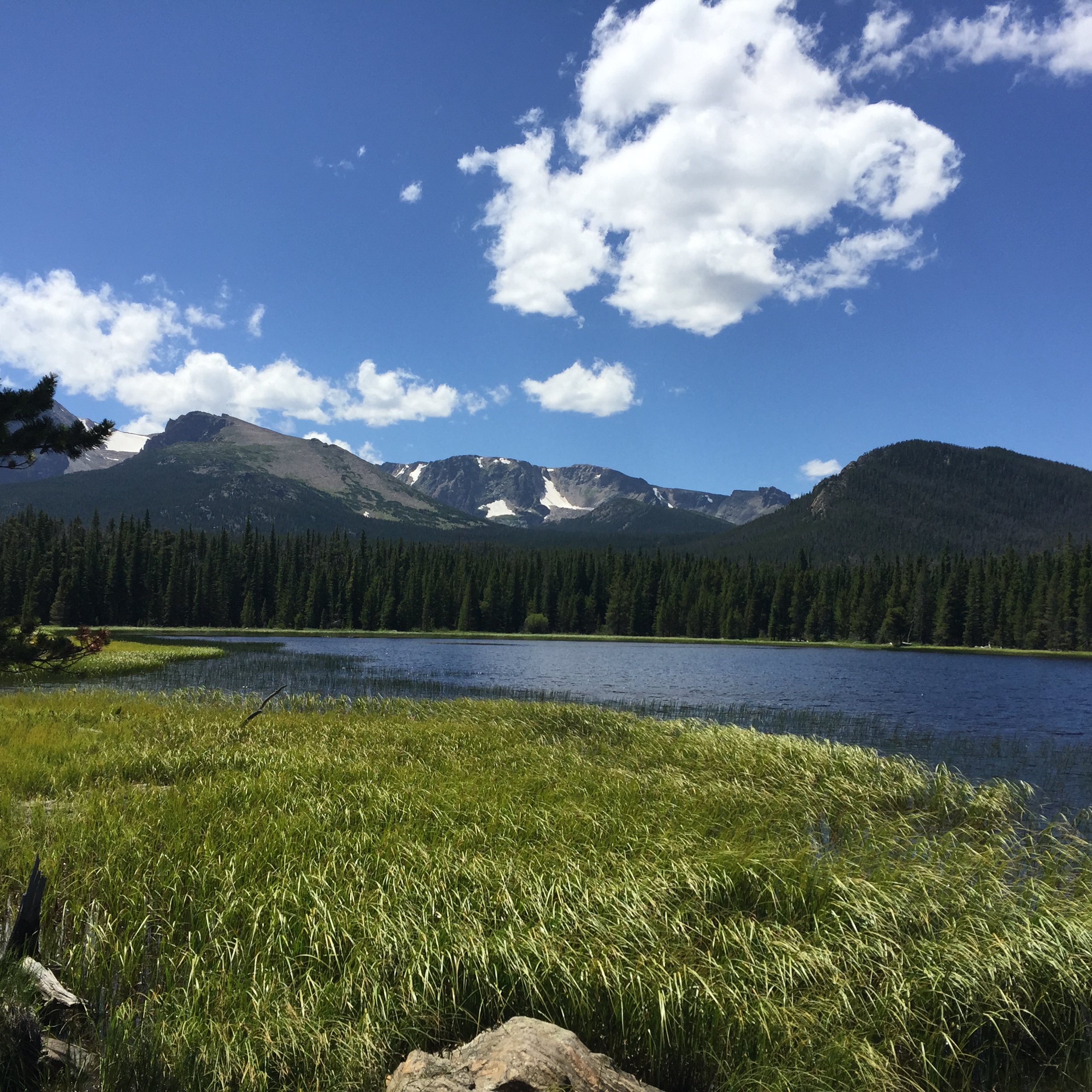
Bierstadt Lake
I hope to take advantage of the free shuttle system on future hikes to avoid backtracking. Here is a link for more shuttle information and routes.
A less busy, more remote area of Rocky Mountain National Park is appropriately named the Wild Basin. On our first trip, we almost drove right past the entrance station which is located 19 miles south of Estes Park, Colorado on Highway 7. Once you turn in, the road narrows and leads to dirt roads with limited parking.
Initially our goal was to scout out the area. We headed to the Wild Basin trail head and walked just .3 miles to Copeland Falls. The short, relativity flat walk through tall pine forest is lovely. There is an upper and lower falls, so make sure to go to both.
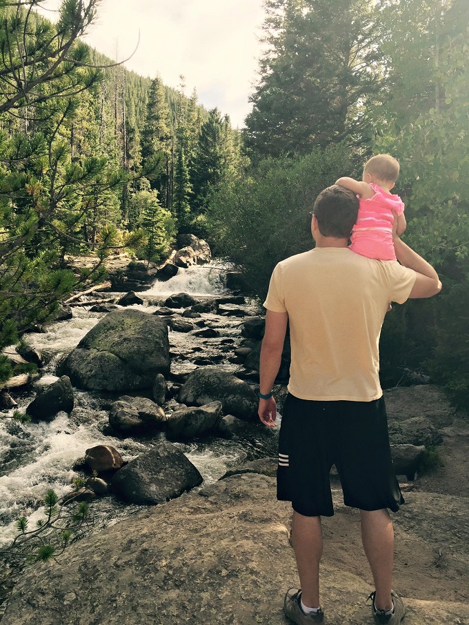
This picture of Cecy with her Daddy melts my heart.
The Wild Basin trail head starts at 8,500 ft of elevation. We were pleasantly surprised by how much we enjoyed this lower elevation walk, so we came back on our next trip to Rocky Mountain National Park.
On our second excursion we wanted to push ourselves to go on to Ouzel Falls which is 2.7 miles each way. On this hike, you gain approximately 950 ft of elevation. There is a lot to see on your way to Ouzel Falls. After passing Copeland Falls we hiked to Calypso Cascades where water tumbles down against logs and boulders in a memorable display.
Calypso Cascades is located 1.8 miles from the Wild Basin trail head.
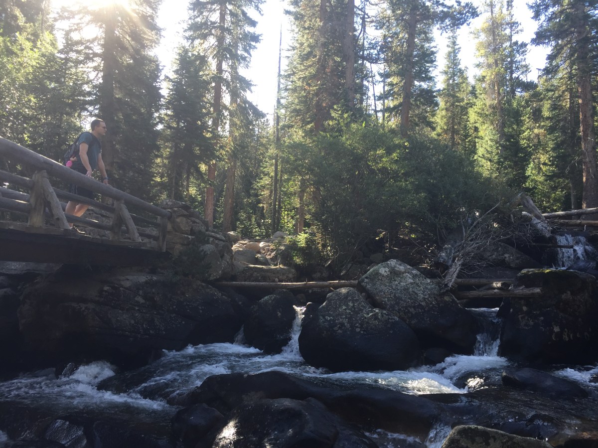
The trail follows a scenic mountain stream that you get to cross over several times on sturdy wooden bridges.
We continued our adventure to Ouzel Falls which is 2.7 miles from the trail head.
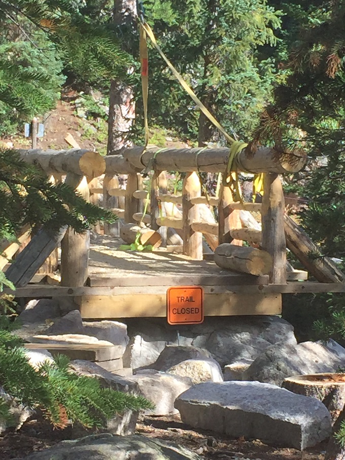
When we were there in early September 2015 the bridge at Ouzel Falls that leads to Ouzel Lake was wiped out from flooding. A crew was there working to rebuild.
We hiked a little off trail to find a better view of Ouzel Falls. Our daughter seemed to enjoy the rushing sound of the falls and the soft mist that was coming off of it.
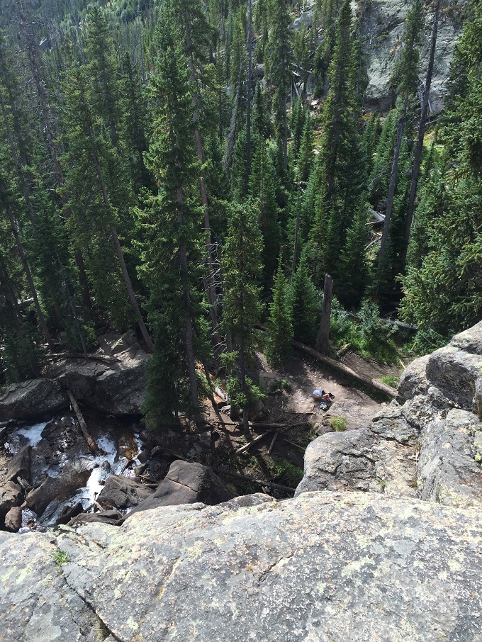
My husband hiked an additional .2 miles to the top of the falls which was somewhat technical and not baby friendly. He waved back down at Cecy and me as we played below.
View from the top of Ouzel Falls
We love that the Wild Basin is typically less crowded compared to other areas in Rocky Mountain National Park. We appreciate that you don’t have to walk far to see a waterfall, but you can also push yourself and have quite the adventure.
Have you been to Rocky Mountain National Park’s Wild Basin area? What did you think?