Guide to Hiking Mount Ida: What You Need to Know

My puppy, Luna, woke me up before the sun, so this morning as I sip my much-needed coffee, I want to share about our most recent hike up Mount Ida in Rocky Mountain National Park, Colorado with you.

Rocky Mountain National Park

You can skip this section if you are already knowledgeable about RMNP, but for the first-time traveler, or the “I haven’t been here in 10 years” couple, Rocky Mountain National Park is located about an hour and a half from Denver, Colorado. You can expect big mountain views and to see wildlife including elk, deer, and even moose. You can also expect crowds, especially during the peak summer and autumn seasons. National Park passes are required to gain entry into the park. Timed-entry permits are also required for certain times and areas of the park like the popular Bear Lake Road.

Click here for more information about Fees and Passes for Rocky Mountain National Park.

The Best Hike in Rocky Mountain National Park

What is the best hike in Rocky Mountain National Park? My husband informed me that Mt. Ida was rated 4.9 out of 5 stars on the All Trails app, which probably makes this hike one of the best for many people. After our experience yesterday, I can see why. The panoramic views at the top make the nearly 10 mile round-trip trek worth it. We also noticed that the hike was much less crowded than other hikes we’ve enjoyed. There are also real challenges with this hike which would make it less than ideal for some hikers. I’ll explain those challenges in this post too.

The “Great Divide”

When we visit Rocky Mountain National Park, we stay in Estes Park, Colorado. The hike to Mt. Ida begins at Milner Pass, so we drove up and over Trail Ridge Road to get to the trailhead. We left our house right at 7am and drove 50 minutes to the trailhead via the Fall River park entrance. We were lucky to find a spot, (usually we would aim to leave by 6am). With an early start, we didn’t need to procure a timed-entry permit nor did we have a long line at the park entrance.

Milner Pass marks the Continental Divide, also known as the “Great Divide”, which according to park signage is the point where water drainage separates to eventually travel to the Atlantic Ocean and the Pacific Ocean.

Tip: Take advantage of the bathrooms near the parking lot before heading up on the tundra.
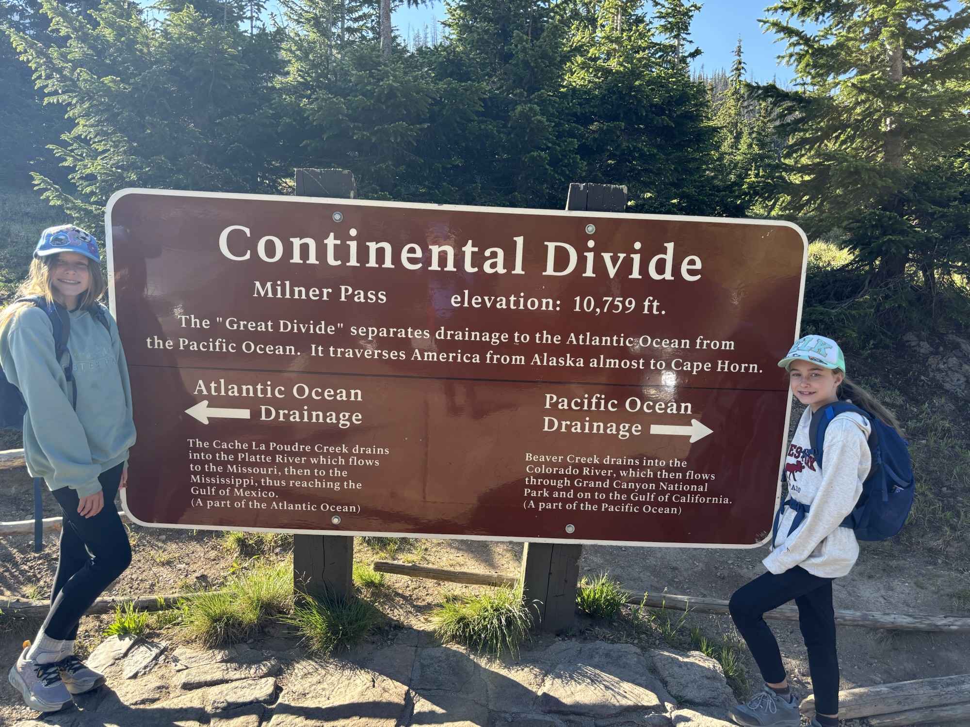
Continental Divide in Rocky Mountain National Park

Hiking the Ute Trail

Poudre Lake
Poudre Lake

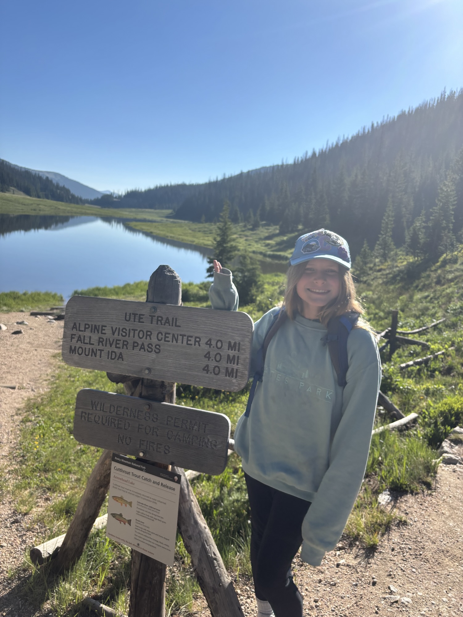
Next to the parking lot, you will see beautiful Poudre Lake and signage for the Ute Trail. You can follow the Ute Trail up to the Alpine Visitor Center or depart from it to Mount Ida. At Poudre Lake the air feels crisp and thin. This hike begins at 10,755 ft of elevation. Because of the high starting elevation, I would not recommend this hike to anyone as a first-day hike. It’s better to start with shorter, lower elevation hikes to acclimate.

Want recommendations for lower-elevation hikes? Here is a list from a previous post: Lower Elevation Hikes in Rocky Mountain National Park.

Hiking to Mount Ida
Hiking to Mount Ida

The first mile or so winds steadily up hill through forest before the trail splits. Signage points to the Alpine Visitor Center or Mount Ida. This is the last official National Park sign you will see along the trail. We veered right to follow the trail leading up to Mount Ida after noting the warning that much of the trail is above tree-line. The tundra can be windy, sunny, cold, and dangerous in a lightning storm.

We packed extra gear including rain coats, warm hats, water, and sunscreen to help with the conditions. We also paid attention to the weather. We lucked out with a sunny and mostly clear morning.
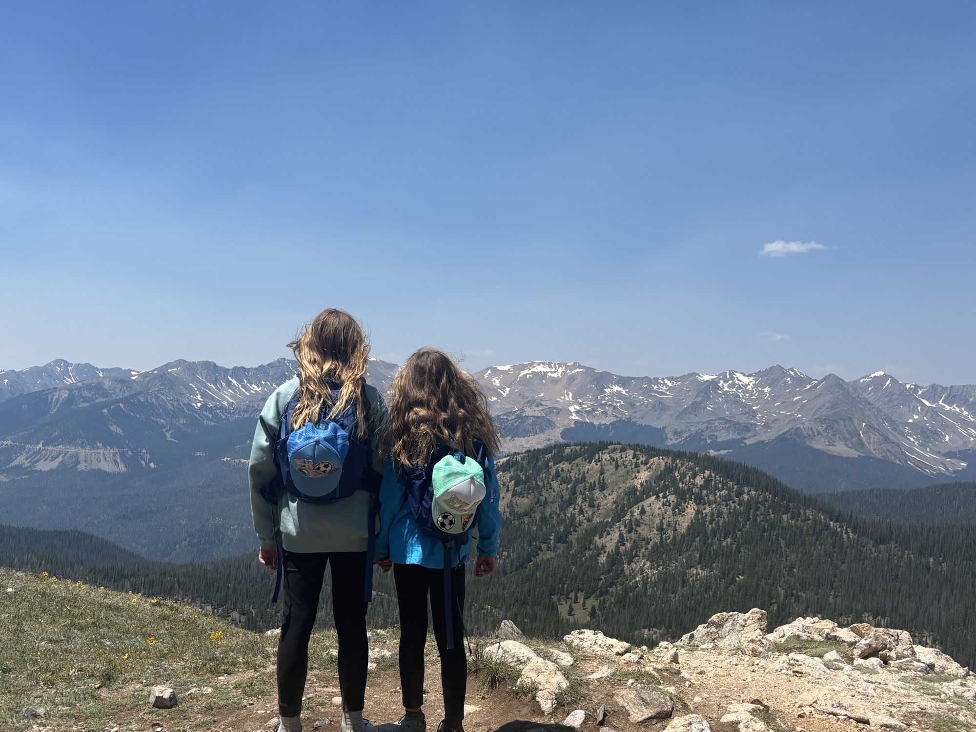
Hiking to Mount Ida
Hiking Mount Ida in Rocky Mountain Park

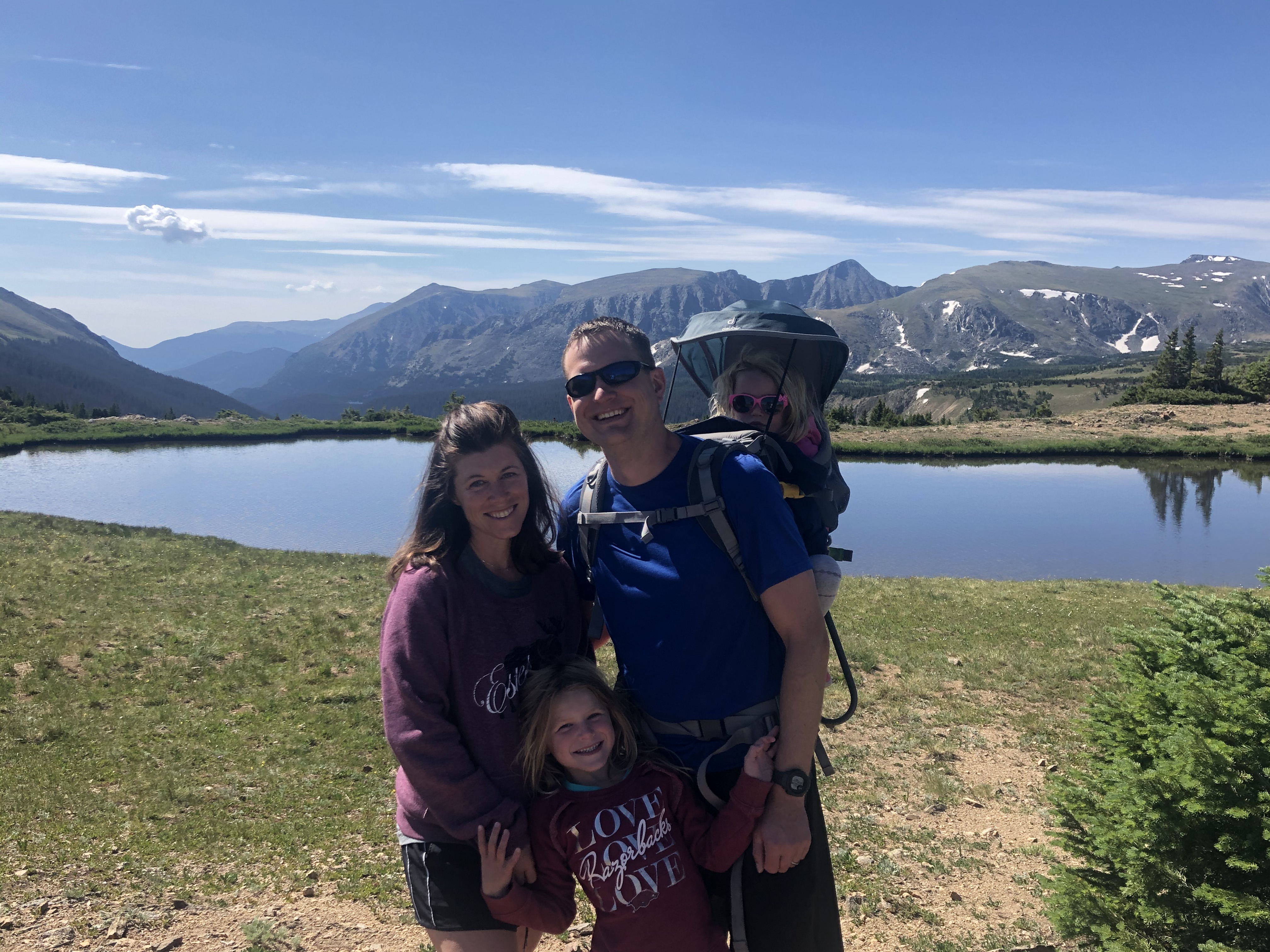
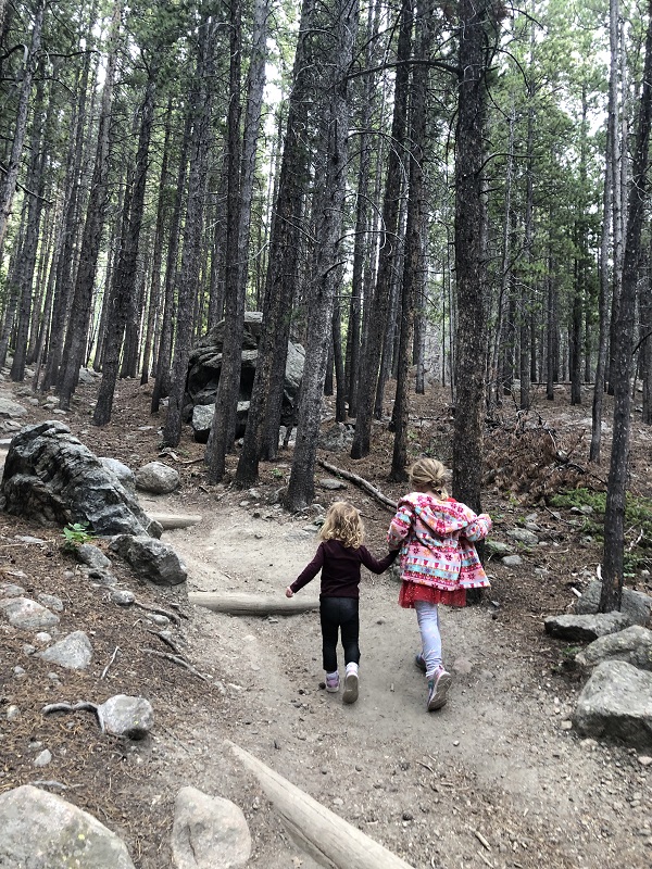
We’ve been taking our girls hiking in the mountains each summer since they were infants. It hasn’t always been easy, but now that they are 11 and 9-years-old, they are leading the way on our hikes with energy and enthusiasm. It’s getting harder for me to keep up!
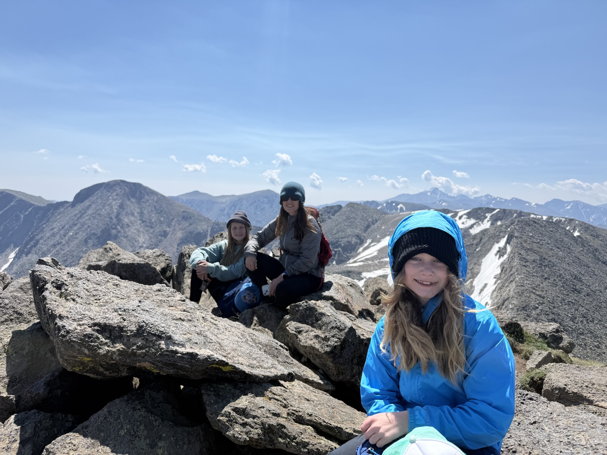
Mount Ida Rocky Mountain National Park
Mount Ida summit

Most of the hike is a distinct, easy to follow trail, but towards the top, there is a bit of a scramble and way-finding. It felt comparable to Twin Sisters Peak which we climbed earlier in the season. This hike gains a total of 2,400 ft in elevation. The summit sits at 12,881 ft.

Want additional details? Check out this helpful post from Colorado Mountain Club or on RockyMountainHikingTrails.com.
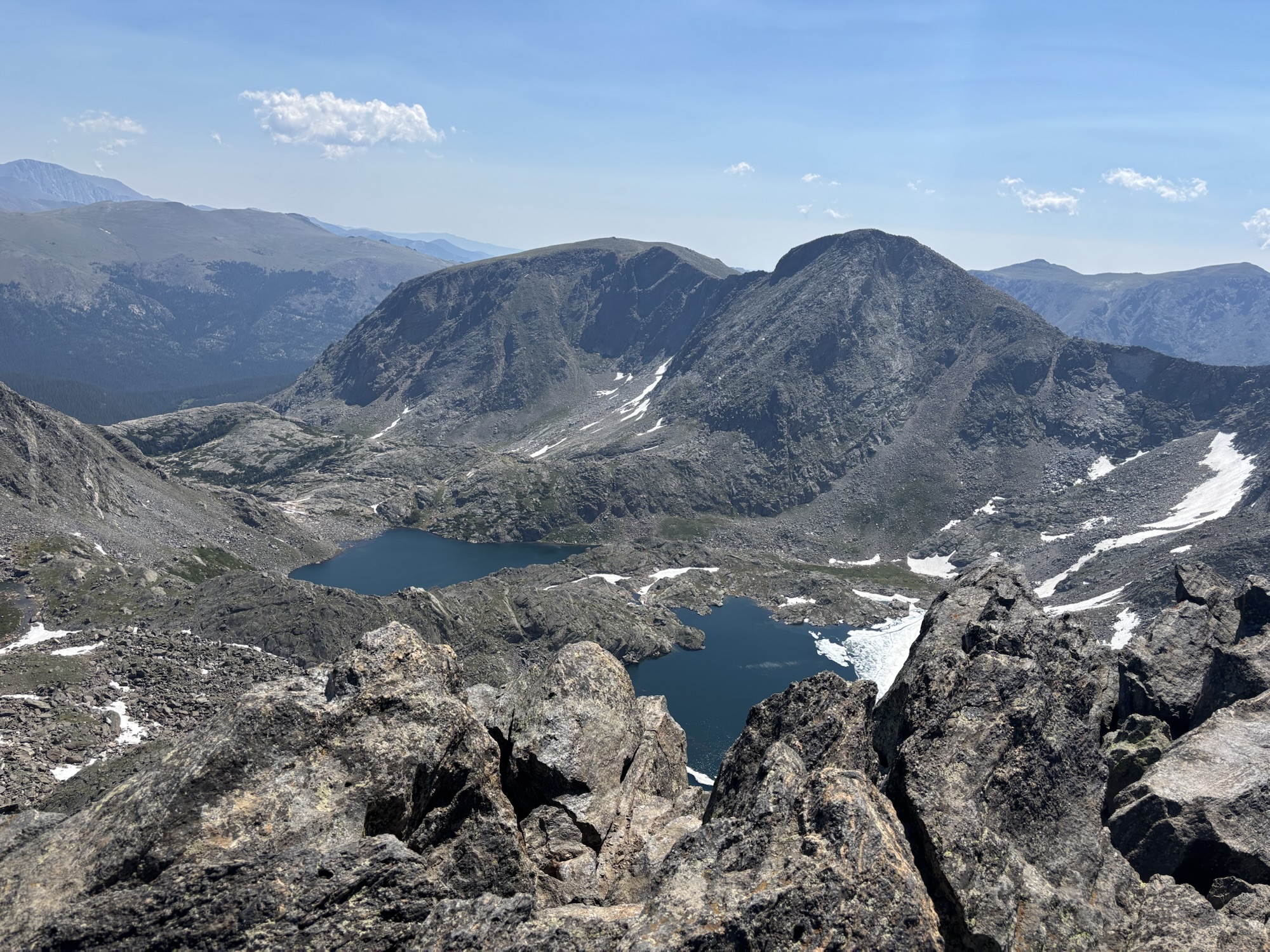
Alpine Lakes from Mount Ida

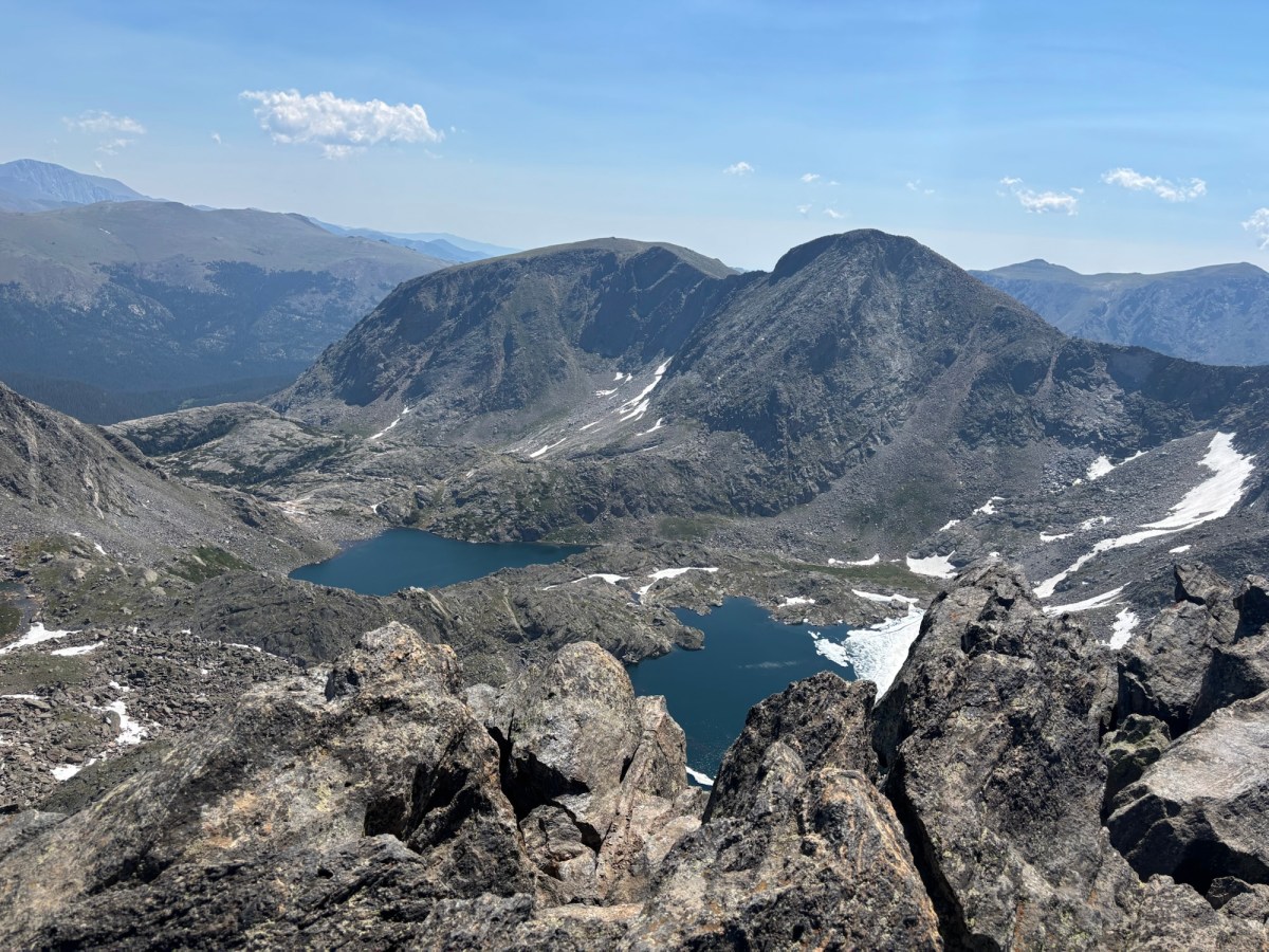
The 360 degree views of the surrounding mountains were breath-taking, but my favorite view was the emerald lakes and glaciers seen below.
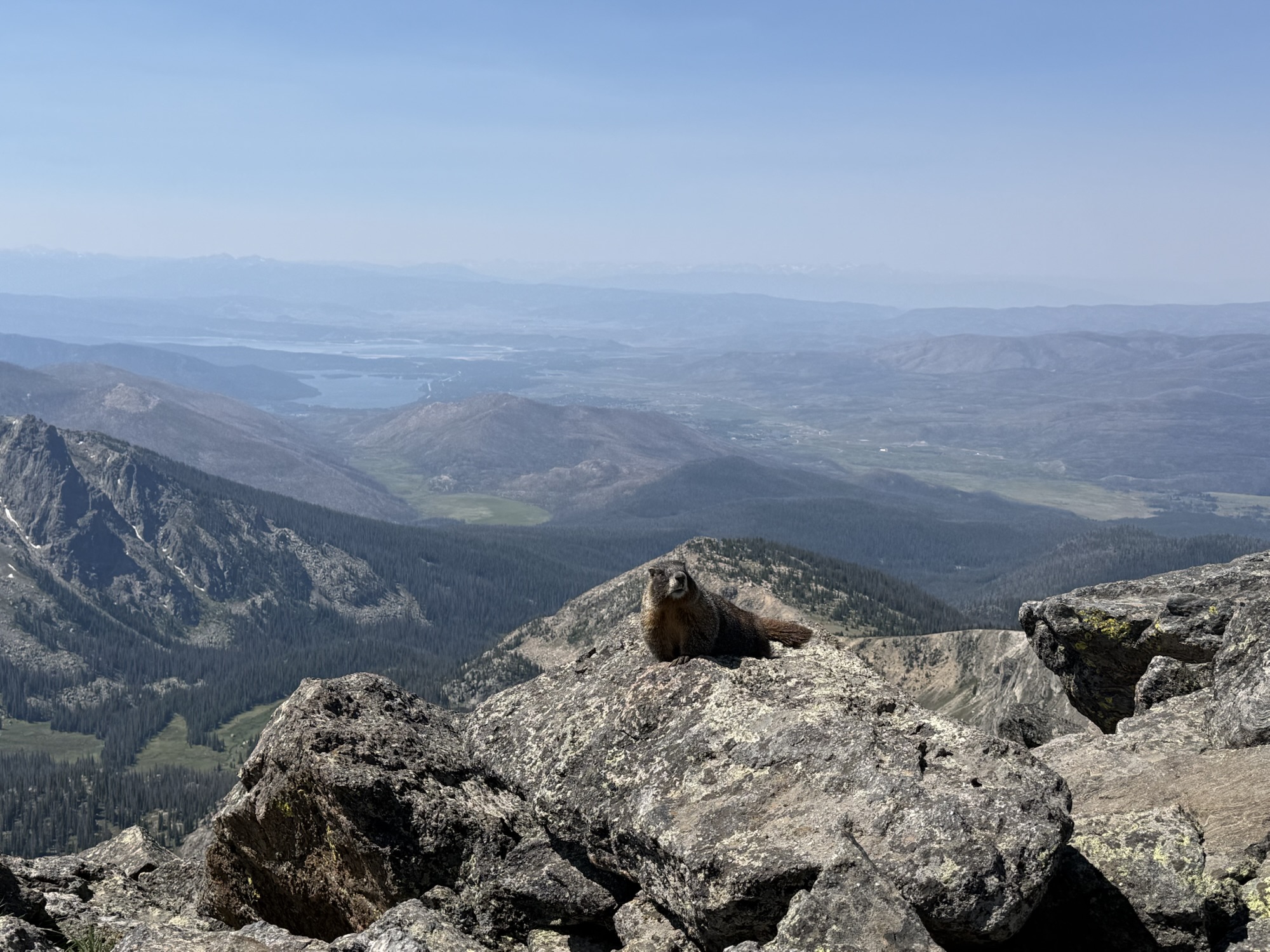
Marmots on Mount Ida
Marmot on Mount Ida

Wildlife on the Tundra

We spotted several elk in the distance and at least twenty marmots on our hike. Other hikers we talked to said they saw a moose on the trail to the Alpine Visitor Center. Beyond animals, I love the delicate wildflowers that live on the tundra.

At the summit, we took pictures and enjoyed a snack before heading back down the mountain. We cruised down the mountain compared to our pace going up. The strong winds made it less desirable to stop along the way. The total distance is close to 10 miles. To reward our effort, we enjoyed Antonio’s Pizza in Estes Park.

Key Takeaways

In summary, this hike is a challenging 10 mile trek that starts above 11,000 ft in elevation and gains over 2,400 feet in elevation. Most of the trail is unprotected in the tundra. Hiking above the tree-line has some risks, but you also enjoy unobstructed views of the surrounding mountains. This well-rated hike could easily become your next favorite.

I hope you enjoyed reading about my first experience hiking Mount Ida. I hope it inspires you to try out a new trail this summer. If you have a suggestion for our next hike in Rocky Mountain National Park (or surrounding area), please leave a note in the comments. We love hiking recommendations!

Outdoor Fun with our Inflatable Stand Up Paddle Board and Kayak

School is back in session and tonight’s post is a bit of a ‘brain break’ for me. Starting a new school year is bittersweet because I love spending time with my girls during the summer, they are at such fun ages. One of favorite outdoor activites was taking out our new inflatable stand up paddle board and inflatable 2-person kayak.

SUP is short for Stand Up Paddle Board, but I don’t feel hip enough to use the term ‘SUP’.

I received an EvaJoy Inflatable Paddle Board as a gift for my birthday. The paddle board came with a hand pump, repair kit, fin, paddle, and dry bag. The paddle board is big (10’10″” long by 32″” wide) which means that I could paddle in the back and have one of my daughters sit comfortably in front of me.

I’ve heard that paddle boarding is a good exercise for core muscles, but for me, the workout starts before we hit the water. Inflating the board with the hand pump is a lot of work! After several uses, I’m having a hard time keeping the hose connected while I pump so it usually takes two of us to inflate the board. Once inflated, the board feels very sturdy.

We purchased a Star 2-person inflatable kayak similar to this one. We also purchased kid-sized paddles. Our girls are learning how to steer and turn. This kayak has worked well for our family on lakes this summer, but I think it will perform even better for floating the river next spring.

We took both the board and kayak to several lakes in Colorado including Lake Estes and Grand Lake. We’ve also enjoyed paddle boarding and kayaking on lakes in Arkansas including Beaver Lake and Greers Ferry Lake.

Estes Park to Grand Lake

Today I’m sharing about a recent day trip from Estes Park, Colorado to Grand Lake, Colorado. We typically make this voyage several times each summer because we enjoy it so much.

We always rise early to start our mountain adventures, but this year we have an extra reason to get an early start. Rocky Mountain National Park’s new timed-entry permit system is designed to help regulate traffic. If you get into the park before 9:00 AM or after 3PM, you don’t need to worry about a permit to drive over to Grand Lake. However, you still need a park entry pass. There is more information on the national park’s website.

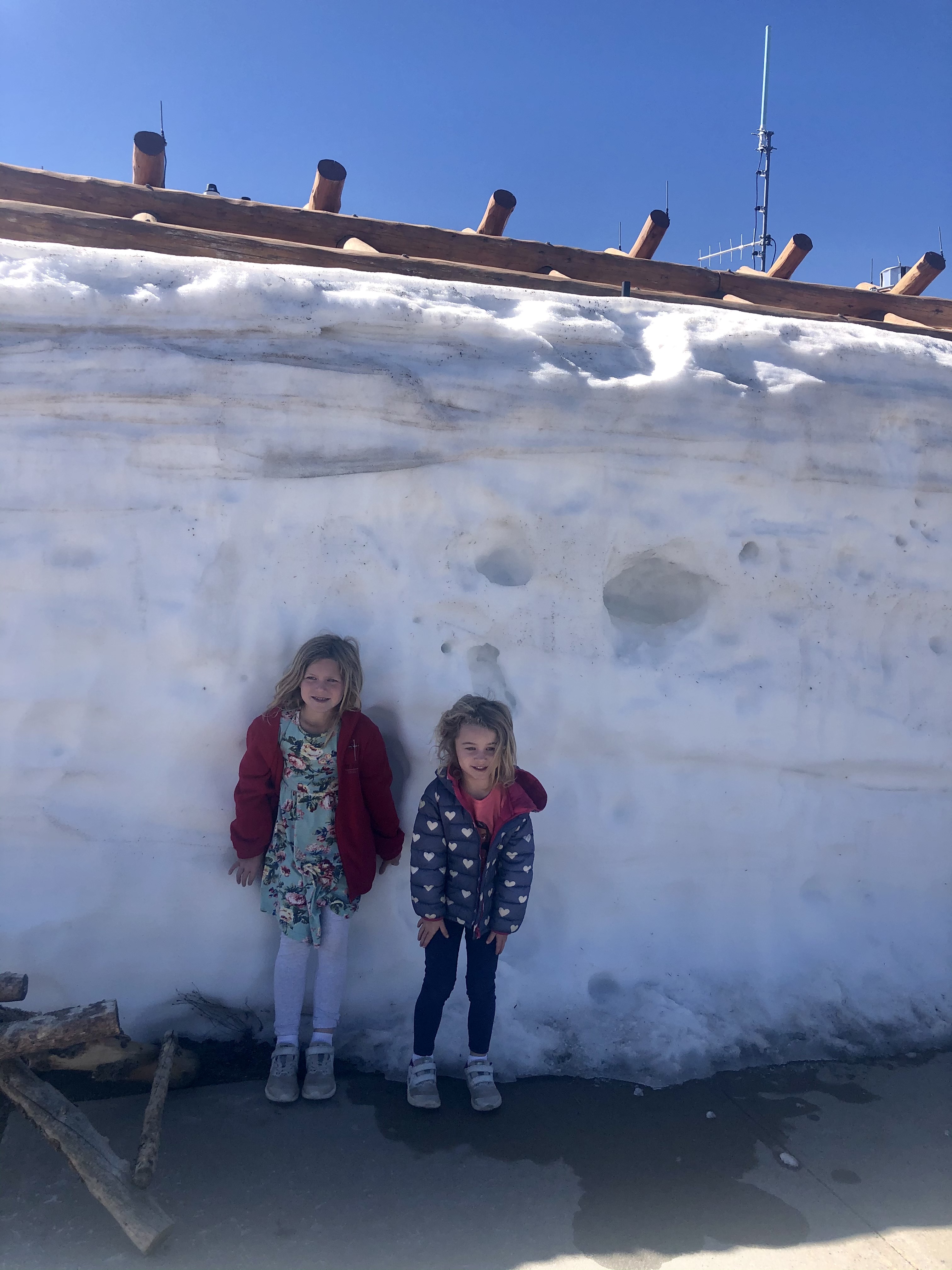
We traveled over Trail Ridge Road to the Alpine Visitor Center. When we went in early June, the seasonal highway had just opened so the snow was still piled high from a recent storm.

We didn’t realize that the Alpine Visitor Center has reduced hours in the late spring, so we waited around a little bit until they opened the doors at 10:30 AM. (Starting June 13, the doors open at 9:30 AM). At the visitor center we purchased a RMNP animals themed puzzle and some postcards to send to friends and family back home. We also enjoyed a cinnamon roll and hot chocolate in the cafe.

As we continued our drive down Trail Ridge Road towards Grand Lake, Colorado, it was shocking to see the wrath of the 2020 wildfires that burned 30,000 acres of the national park. Even though the fires are no longer roaring, some areas remain dangerous because of higher risks for falling trees, landslides, and flash flooding. Before planning a hike, it’s a good idea to check the National Park’s website for current closed areas (here) and to visit park visitors centers to get the latest trail information.

The fire not only impacted the forest, but also the people who live nearby. An art exhibit called Troublesome Stories: Tales from the wildfire opened in the town of Grand Lake. The gallery is free to the public. You can learn more here.

We were relieved to see that the hike into the East Meadow was open. The hike to East Meadow begins at the East Inlet trailhead at 8,390 ft in elevation. We followed the East Inlet trail for .3 miles to Adams Falls.

Adams Falls

This is one of our favorite hikes on the West side of Rocky Mountain National Park because it is beautiful and easy for our young kids to hike on their own. We wrote more about this destination in our post, Peaceful Hike to East Meadow in Rocky Mountain National Park.

On the way to East Meadow

Past the falls and into the meadow, we spotted a moose in the distance.

Moose in Rocky Mountain National Park
East Meadow

Grand lake colorado restaurants

We spent a little time in the meadow before turning around to head back to the trailhead. We worked up an appetite on our hike and decided to try a new Caribbean restaurant called One Love Rum Kitchen. We were able to get a picnic table outside where we enjoyed our meal. My husband and I enjoyed the flavorful blend of spices that they used to season the food. Our kids prefer basic flavors.

Next, we strolled down to Grand Lake where the girls (ages 4 and 6) enjoyed splashing in the water and playing in sand. This was the highlight of the day for them.

Our last stop was for a scoop of ice cream at Grand Lake Chocolates. Then we started our journey back over Trail Ridge Road to our cabin in Estes Park. The distance between Estes Park and Grand Lake is 46.5 miles and when I googled it this morning, it says it takes an hour and a half. I would plan for at least two hours each way because of traffic and sight-seeing.

Things to do in grand lake colorado

For us, this felt like a full day, but you could easily extend this day trip by adding more hikes. Some of our family’s favorite hikes in this area include the Ute Trailhead, Tundra Communities Trailhead, Alpine Ridge Trail, Lake Irene, and Coyote Valley.

Another way to add on to the day trip is renting a boat or kayak in Grand Lake. Last year we rented a kayak which we wrote about in a post called Kayaking Grand Lake, Colorado.

My final suggestion is to check out the locally owned shops and art galleries on the boardwalk in downtown Grand Lake.

Fires in Rocky Mountain National Park

Rocky Mountain National Park is closed due to spreading wildfires in and around the park. We are praying for rain and snow to help slow the fires down. Our thoughts are with the fire fighters and the communities affected by the fires, especially Estes Park, Colorado and Grand Lake, Colorado. Both places hold special places in our hearts.

You can find out more information about the closures on the national park’s website, here.

We are also keeping updated by following the Estes Valley Fire Protection District on facebook as well as the official page for the Cameron Peak Fire.

NASA also has a near real-time heat map that you can view here.