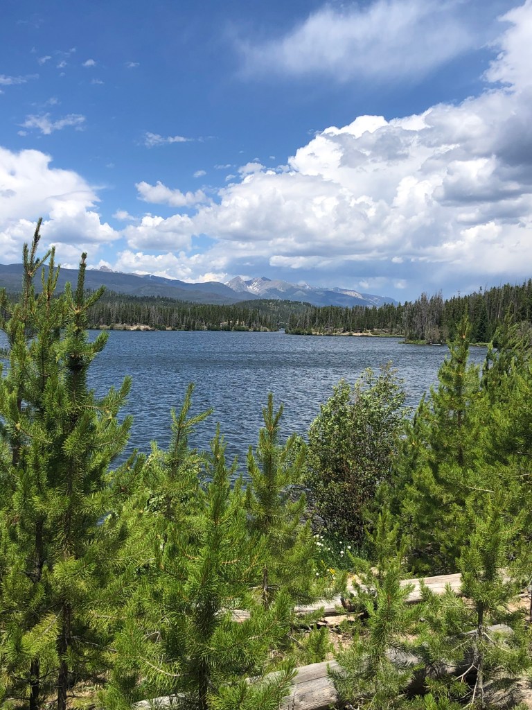
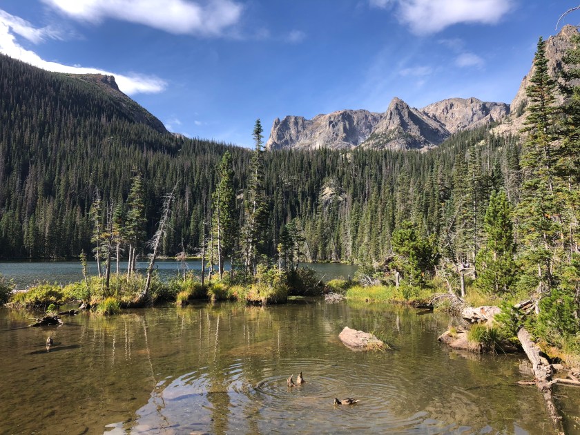
Today I want to share a scouting report for a new (to us) trailhead in Rocky Mountain National Park. East Shore is located on the west side of the national park near the town of Grand Lake and Granby Colorado. The trail borders Shadow Mountain Lake and Lake Granby as well as the Colorado River. We parked near Shadow Mountain Dam. Our girls found the dam fascinating. (Their excitement could be attributed to the movie Frozen 2 which features a dam breaking as a major plot point.)
From the trailhead you could see Green Ridge Campground which is part of the Arapaho National Recreation Area.
National Park signage at East Shore trailhead.
The East Shore trailhead gives hikers access to RMNP as well as the Continental Divide National Scenic Trail. From Shadow Mountain Dam, we headed north for a half mile. The total distance of the East Shore trail is over 20 miles.
By the time we made it to East Shore, we had already hiked up on the alpine tundra and gone kayaking on Grand Lake. Given all the activities of the day, it’s not surprising that we only made it through a very small portion of the trail. We are excited to return when we have more energy and time to explore.
The East Shore trail features lake and mountain views. Imagine how pretty it would be at sunset.
Trail Positives: Lake views, mountain views, wildflowers, dam.
Trail Negatives: Distance from our cabin in Estes Park.
Final Thoughts: This trail would be a good option for people visiting Grand Lake or Granby, Colorado. Remember that hiking in Rocky Mountain National Park requires a park pass and a timed-entry permit.
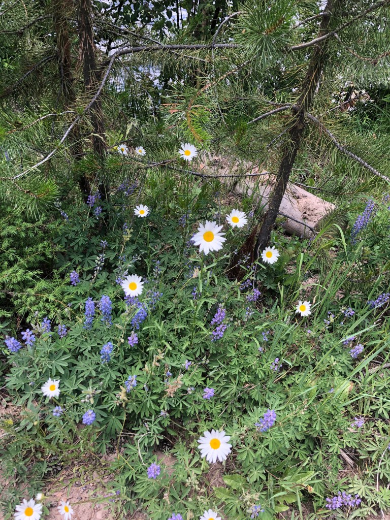
The section of the trail was flat and easy for my 5-year-old to walk on. Wildflowers blooming along East Shore trail in Rocky Mountain National Park.
Save the Date! August 25th is the National Park Service’s birthday and that means entrance fees are waived in all U.S. national parks including Rocky Mountain National Park.
rocky mountain national park entrance fee
Typically, the daily entrance fee for one vehicle is $25. You can buy an annual RMNP pass for $70. Our family buys an ‘America the Beautiful’ annual National Parks and Federal Recreation Lands pass which is $80. This is a great deal for us because we go to Rocky Mountain National Park often, and we also like visiting nearby Indian Peaks Wilderness Area which is managed by the U.S. Forest Service. Seniors, members of the military, and 4th grade students may be eligible for discounts. You can learn more about these and other pass options online on the national park service’s website.
rocky mountain National park timed entry permit
Starting summer 2020, a timed-entry permit is also required to enter Rocky Mountain National Park between the hours of 6:00 am and 5:00 pm. Permits are typically $2 per day and can be obtained on recreation.gov.
rocky mountain national park hours
The national park is open 24 hours per day every day of the year. Some facilities such as the park’s visitor centers have more limited hours. Current hours are 9:30 am to 4:30 pm. Some roads such as Fall River Road and Trail Ridge Road are open seasonally based on weather conditions.
rocky mountain national park trail conditions
Park rangers at the park’s visitors centers and professional local tour guides/rental companies are helpful resources to get an idea of what to expect out on the trails. You can also review trail condition reports on the national park’s website or on alltrails.com.
Keep an eye out for wildlife like moose, deer, bighorn sheep, and elk. Make sure to bring a good camera.
If you are visiting Rocky Mountain National Park during the winter, you can go sledding or snow-shoeing.
Additional activities include fishing, camping, rock climbing, and more! (additional fees, reservations, or permits may be required) No matter how many times we visit, we never run out of things to do in Rocky Mountain National Park.
Don’t you love a great backup plan? Our original plan for the day was to hike to Dream Lake, but when we arrived at the Bear Lake parking lot at 7:45 am it was already full. We started driving back down the mountain and found that Glacier Gorge parking was also full and so was Bierdstand Lake. We pulled into the Hollowell Park area hoping we could find a spot. We were relieved to find several parking spaces available.
On a previous trip, we hiked to the Mill Creek Basin and turned around to return the way we came. On this occation, we hiked a loop around Mill Creek Basin and then connected back up with the trail to return to the Hollowell Park trailhead.
Photo of National Park Service map taken at trailhead. I highlighted over to show our route.Longs Peak views
Hike to Mill Creek Basin
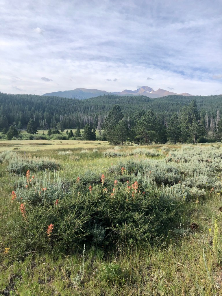
The first section of the trail takes you through an open valley with views of Longs Peak. This could be a hot section of the trail during summer afternoons, but soon the path wraps around into a wooded area and follows along side Mill Creek.
We enjoyed the solitude this hike offered. Over the course of four miles, we passed less than a dozen fellow hikers.
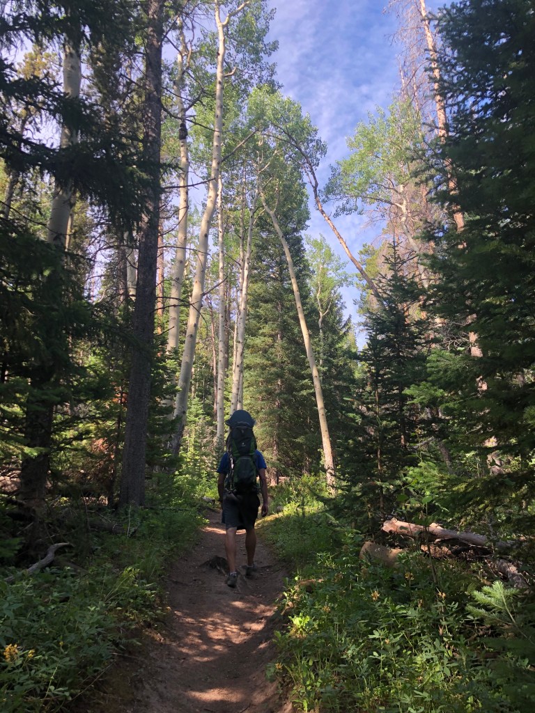
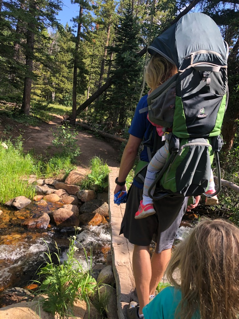
Besides some minor complaints during a couple of the uphill sections on the trail, our 5-year-old walked the trail on her own with a great attitude. Our 3-year-old rode in her kid carrier.
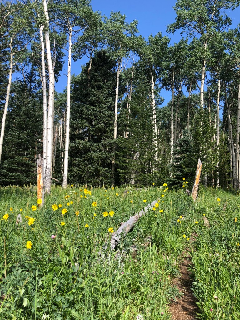
A variety of wildflowers bloomed near Mill Creek and in the open fields.
Wilderness Camping at Mill Creek Basin
Half way through the hike (or 2 miles from the trailhead) we crossed into the Mill Creek Basin. There are two wilderness camping spots available in the Mill Creek Basin. The National Park Service offers a map of all the wilderness campsites in the Bear Lake area including Mill Creek Basin. Additional information about permits and regulations can be found on the national park service’s website.
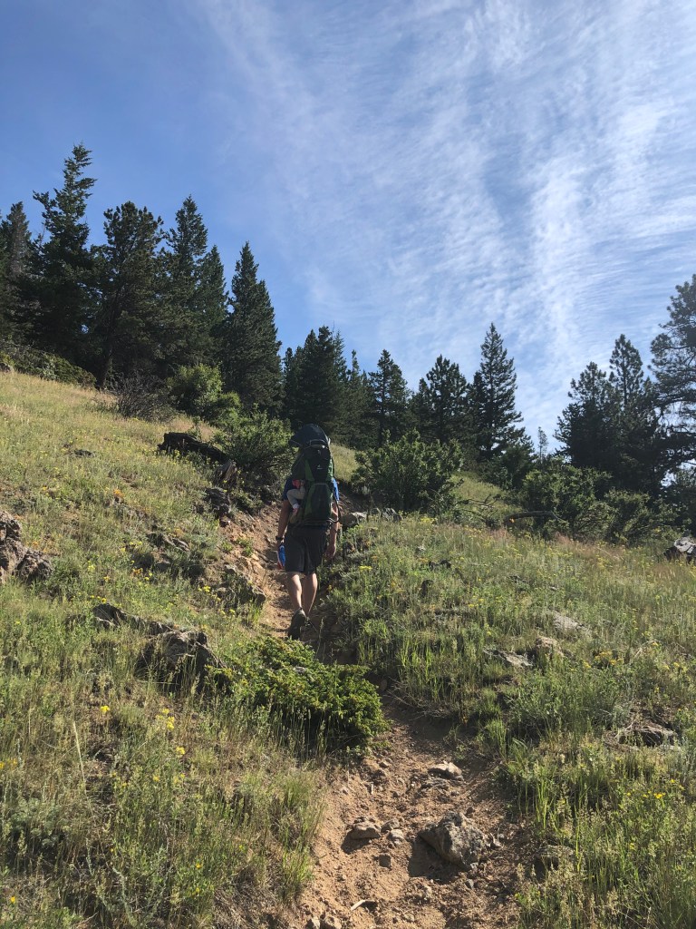
Mill Creeek BasinUphill section with narrow trailMountain viewsThis section of the trail was steep going downhill (if following the direction we came).
If you are looking for a backup plan hike, a hike that’s less crowded, or a hike with gorgeous wildflowers, I highly recommend giving this loop around Mill Creek Basin a shot. Let me know if you do and what you think!
Want a bigger challenge? This trail connects to several popular destinations in the park including Cub Lake, Bear Lake, and Bierstadt Lake.
Trekking poles – I wish we would have brought trekking poles for the steep downhill section of this trail through the elm trees. I typically don’t have knee issues, but sometimes hiking downhill is hard on my joints and I think the poles help absorb the extra pressure. Trekking poles also come in handy if there are any snowy patches along the trail.
‘You have entered a land of fierce extremes’ reads signage on the Tundra Communities Trail in Rocky Mountain National Park. The signage is referring to the high altitude and intense weather conditions, but it feels like a good metaphor for life during a pandemic when everyone is trying to make good decisions and sometimes coming up with opposite answers.
To get to the Tundra Communities Trail, you drive up Trail Ridge Road which is inside Rocky Mountain National Park. It connects Estes Park on the east to Grand Lake on the west. A national park pass and timed entry permit are required. The road is a popular attraction in the park because it takes you above tree line and offers panoramic views of the mountain ranges. We often see herds of elk.
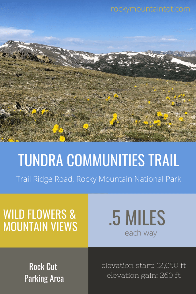
There are several turnoffs along Trail Ridge Road where you can take pictures or walk on park trails. The Tundra Communities Trail is located at the Rock Cut parking lot near the highest point of Trail Ridge Road. The path begins at 12,050 feet of elevation. The hike is a half mile each way with 260 feet of elevation gain. At this high elevation, be cautious of changing weather conditions, especially pop-up storms with lightening. The sun is strong, so make sure to put on sunscreen. You may be surprised how much the temperature drops as you gain elevation, so it is a good idea to bring warm layers even during summer months.
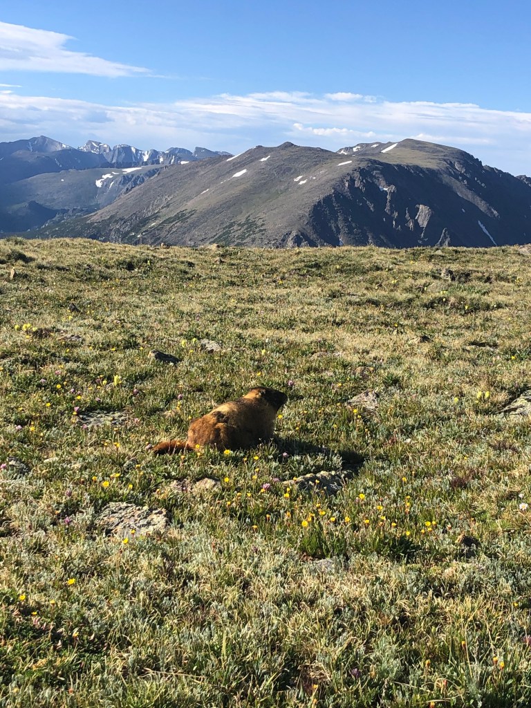
The fuzzy marmots that we spotted off the trail didn’t seem to mind the cool morning temperatures.
The trail is paved. It’s important to stay in the paved area to protect the delicate landscape.
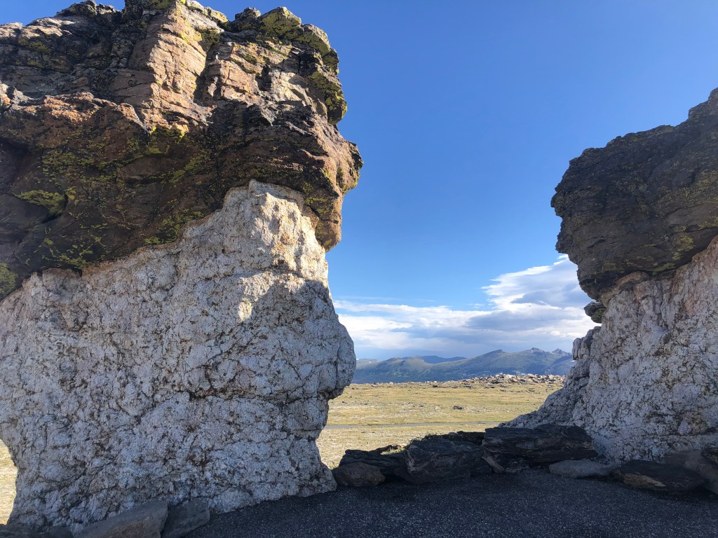
There are several unique rock formations off the main trail to explore including Mushroom Rocks.
The Roger Toll Memorial can be found at the end of the trail. There is also a marker that shows which peaks you are looking at in the distance. After a fun scramble on these rocks, the views of the surrounding mountains are inspiring.
The wildflowers along the trail are a testament to beauty thriving in harsh realities. This is a short trail, but I encourage you to take your time to see how it speaks to you.
Today I’m praying for wisdom, compassion, and health for my family and yours. Thank you for following along with our adventures!