
When I meet people these days I typically ask them about their favorite local restaurants and their favorite places to hike near our new home in Fayetteville, Arkansas. We’ve got a lot of great hiking suggestions, but Kessler Mountain was on the top of many lists. When we were blessed with a warm winter morning, we decided we would seize the opportunity to explore Kessler Mountain Regional Park.
Here is a link to the Kessler Trail map. There are 10 trails in the park with different levels of difficulty.

We decided to start on the Last Call trail which is 1.2 miles. Portions of the trail were muddy from recent rain, but for the most part we enjoyed good hiking conditions.
As first time visitors, we appreciated the directional trail signage.

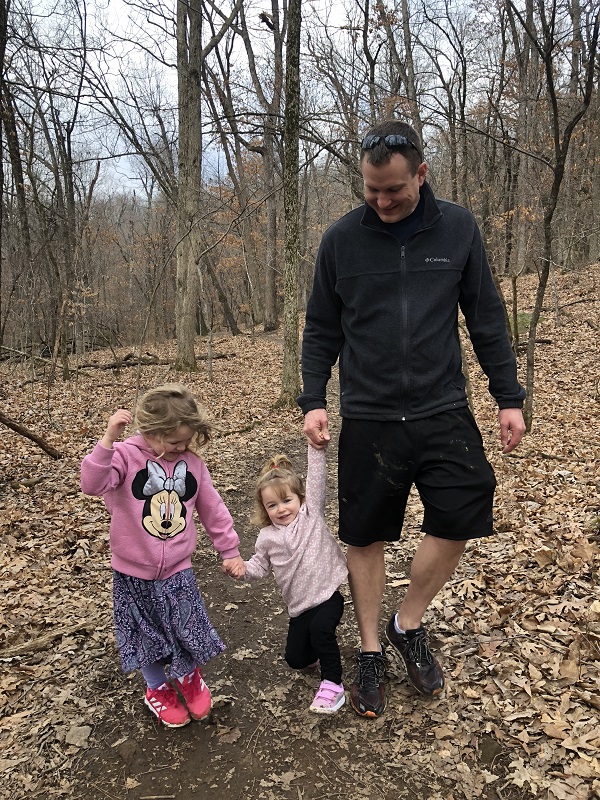
Hiking with toddlers means exploring every rock, tree and bridge we cross.


The trails were well used by both hikers and mountain bikers. The rule is mountain bikers should yield to hikers, but we definitely kept our eyes and ears open to make sure the girls were safely out of the way. Everyone was very polite and patient with us!

When we reached the end of Last Call, we had a few options. 1. turn around to go back. 2. take a right uphill towards Terrapin Station trail. 3. take a left downhill towards Terrapin Station trail.
Out of curiosity, we headed uphill and found the main reason to continue is to join up with other trails like Crazy Mary. (I was kind of hoping for a lookout, but we didn’t see much besides water towers) So, we turned around and headed downhill on the Terrapin Station trail which is .9 miles. This was our favorite portion of the hike because it felt the most secluded.

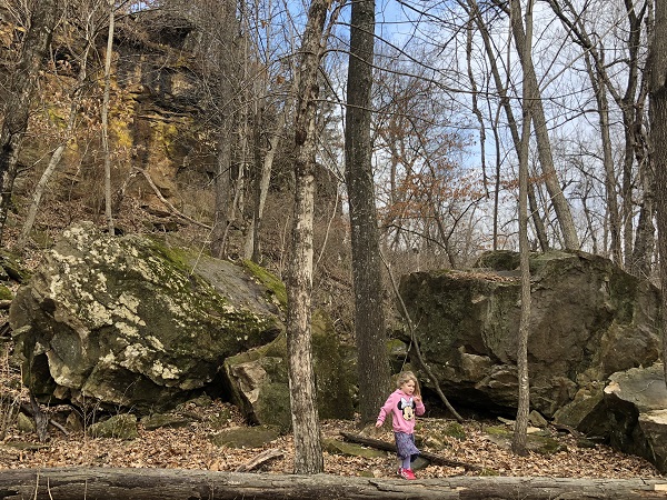
I think winter is a great time to hike because you get great views of bluffs and rocks that you might miss when the trees are thick and green. I also don’t worry as much about snakes, ticks and mosquitoes.

Soon after the trail split between Terrapin Station and Chinkapin Oak, it joined back into the Last Call trail and zig zagged back down to our starting point.

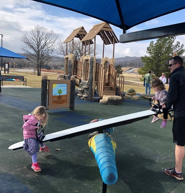
We promised our girls a cookie and play time at the park’s playground as a reward for good behavior on the hike. We were blown away by how great they did. Our four-year-old walked all 2.5 miles on her own! And, our two-year-old walked impressive stretches and rode happily on Dad’s shoulders for the remainder.
Near the playground, a path connects to the paved Cato Springs Trail which is 3 miles long and joins the Razorback Greenway Trail. (according to an article we found from the Fayetteville Flyer)
I was curious about the unique names of some of the trails in the park and started googling them when we got home. Terrapin Station is the name of a Grateful Dead album. Crazy Mary is a Pearl Jam song. Is this a coincidence? Or, am I starting to figure out the theme? If someone knows the answer, please share!
Now that we’ve been to Kessler Mountain Park, I can see why others recommended it. We can’t wait to go back and explore more of the trails.

2 thoughts on “Hiking Kessler Mountain Trails in Fayetteville, Arkansas”