Lake Irene is located off of Trail Ridge Road approximately 5 miles south of the Alpine Visitors Center. This peaceful lake is one of our favorite spots in Rocky Mountain National Park to eat a picnic lunch.
Amenities include a small parking lot, restrooms, and several picnic tables.
You can take an easy stroll around the lake.
A little beyond the lake you will find signage pointing to an overlook.
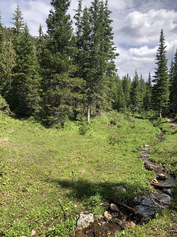
From the overlook, you can see a meadow with mountains in the distance. I’ll admit that this view isn’t the most spectacular you will find in Rocky Mountain National Park, but the competition here is world-class.
The area is lush and green.
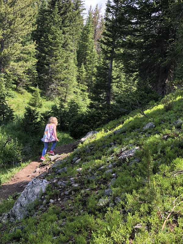
Although the trail is not accessible for wheelchairs or strollers, the short hike does not gain much elevation. Our preschooler was able to walk most of the .8 mile distance on her own.
With some help from Dad.
Our two-year-old also enjoyed walking for portions of the trail. For our young family, Lake Irene offers a serene spot to enjoy lunch and just enough adventure to ensure the whole family is having a fun and memorable experience.
Lake Irene is located on the West side of RMNP. Here are some additional posts that feature destinations in this section of the park:
Recalculating. In a word that is how I can sum up what it’s like to hike with a growing family.
Earlier this year I wrote about one of our all-time favorite hikes to Blue Lake in the Indian Peaks Wilderness Area. This summer, the 6.2 mile journey just wasn’t feasible with our 4.5-year-old and a 2.5-year-old. However, we didn’t want to miss an opportunity to visit one of our favorite places in Colorado, so we drove to Brainard Lake Recreation Area which is about 50 minutes from where we stay in Estes Park.
We have an America The Beautiful Pass which covers entrance into federal recreation areas including Rocky Mountain National Park and the Brainard Lake Recreation Area which is run by the U.S. Forest Service. For our family, the inclusive pass is a good annual investment.
Typically, I recommend hiking early in the morning to avoid crowds, but we took a chance and arrived at the park around 3:30 on a Friday afternoon just after a rain shower had rolled through the area. We were lucky to get into the park quickly (expect long lines on weekends/holidays). We also grabbed a parking spot at the Mitchell Lake trailhead.
This is the same path you go on to get to Blue Lake, but we decided to hike to Mitchell Lake which is only 1 mile each way. My preschooler can hike this distance on her own.
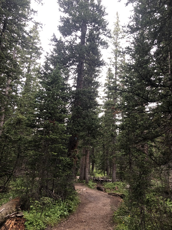
Tall pine forest
Good news for families with furry children – dogs are allowed here, but must be kept on a leash.
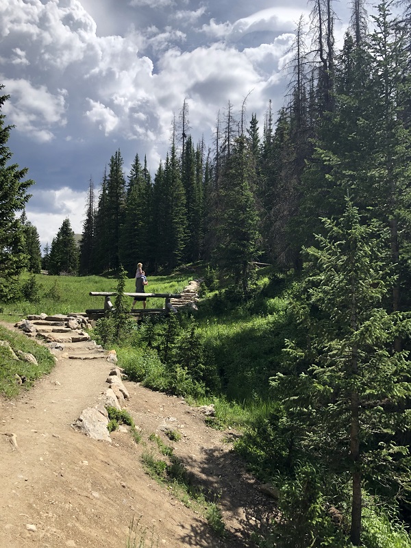
We crossed a bridge over Mitchell Creek before officially entering into the Indian Peaks Wilderness Area.
Wooden bridge over Mitchell Creek
There is a lot of water along this trail which attracts mosquitoes. We regretted forgetting our bug spray as we were bombarded.
Mitchell Creek flows from Mitchell Lake
Most of the hike is heavily wooded, so views are limited until you arrive at Mitchell Lake which opens up to an impressive backdrop of Mount Audubon.
Even in early August, we found little patches of snow to play in.
Just seeing the stunning array of wildflowers makes this hike worth the drive from Estes Park. When you add in the lush forest and mountain views, it’s a 2 mile hike that is tough to beat! (just remember the bug spray!)
The drive up to the Alpine Ridge Trail is an adventure. If you begin on the East side of Rocky Mountain National Park, you have the choice of driving up Old Fall River Road or Trail Ridge Road. Both routes are inside of Rocky Mountain National Park, so you need to purchase a park pass.
Old Fall River Road
We opted for the Old Fall River Road route where you can go one-way, and that is up. The road begins near the Endovalley picnic area and leads to the Alpine Visitor Center and the Alpine Ridge Trail. The gravel road is eleven miles long. You can expect tight turns and slow speeds. (The speed limit is only 15 mph.) The road is open seasonally and can close at any time for poor weather conditions. It’s a good idea to check the National Park Service’s Road Status Report before heading up. You can avoid crowds and afternoon storms by starting early.
Chasm Falls
One of the highlights along the road is Chasm Falls which is hidden from view. There is a small pull-out with enough room for a handful of cars to park. The trail leading down to the viewing deck is short and steep. If you can find a spot, Chasm Falls is worth stopping for. I included it as one of our best waterfall hikes in Rocky Mountain National Park.
above tree line
Old Fall River Road takes you above the tree line. The views from this road are spectacular. Many times on our journey we have spotted elk. Eventually you connect to the parking lot of the Alpine Visitors Center where parking is competitive.
Alpine visitors center
The Alpine Visitors Center is a great place to use the restroom, shop for souvenirs, take pictures, grab a snack, and ask park rangers any questions you have about the tundra. It’s usually noticeably colder and windier at this altitude, so we add on a layer of clothing before walking around.
If you are looking for a fun and inexpensive activity/souvenir, my girls enjoyed picking out postcards for their friends back home at the gift shop. There is a post office in downtown Estes Park where you can purchase stamps and send them.
Alpine Ridge Trail
I’ve always noticed people hiking up the Alpine Ridge trail, but this was the first time we decided to make the hike up. It helped that we had a warm day with low winds.
The hike is only .3 miles each way. Concrete stairs climb to the top. You start at high elevation and end up at even higher elevation, so even the short distance is a cardio challenge. My 4-year-old was able to make it on her own, but my 2-year-old got to ride on her Dad’s shoulders. I appreciate that the National Park Service places educational signage along the trail to help explain what you are looking at, why you are out of breath, and what they are doing to protect the natural environment surrounding us.
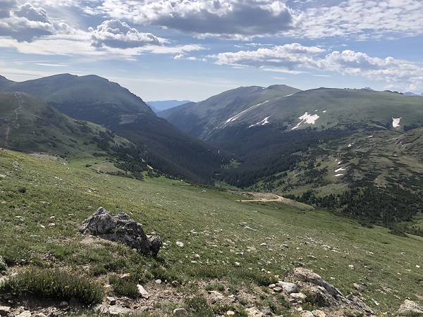
From this perspective, you can see Old Fall River road winding up the mountain.
The wildflowers were blooming on the tundra which is a delicate landscape. This area is roped off to encourage crowds to stay on the path.
There were several groupings of large rocks that my girls enjoyed climbing on.
The elevation at the top is 12,005 ft. above sea level. You can see for miles! I’m happy we took the time to take the small trek up the trail. It was something our whole family enjoyed. If you like this tundra hike, I also recommend reading our post on the Ute Trail.
Trail Ridge Road
We took Trail Ridge Road back down the mountain towards Estes Park. This trail is far less rustic than Old Fall River Road. We enjoyed views of the mountains and spotting a herd of elk playing in the snow.
A couple of years ago, I wrote about our hike on the Homer Rouse Trail in Estes Park, Colorado. We’ve noticed some pretty major changes to the area, so we decided to revisit the hike on our most recent trip.
We were lucky to have two cars with us, so we decided to leave one parked off of Fish Creek Road near the turnoff to Cheley Colorado Camp. We shuttled our family so that we could walk downhill one-way from the Lily Lake/Twin Sisters parking area back to our parked car. (Last time we walked both ways)
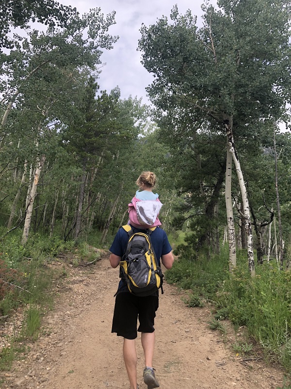
Going one-way made the hike approximately 2 miles, which was attainable for our 4-year-old to walk on her own while my husband carried our 2-year-old on his shoulders.
The Homer Rouse Trail is a public trail that is on private property. It is not in Rocky Mountain National Park.
We walked past the historic Baldpate Inn before entering the gravel road where motorized vehicles are restricted. Horses, bikes, and dogs are welcome on the trail. We passed by groups on horseback and on a bike riding tour that looked challenging and fun. Friendly dog owners allowed our girls to pet their playful pets, which was the highlight of their walk.
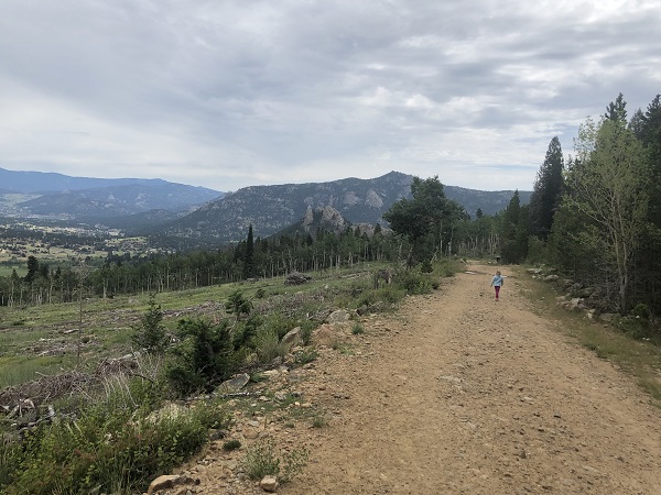
We didn’t walk far before we came to areas along the trail that were cleared of trees. I’ve heard two theories about the clearing. The first is that the trees were cut down to help prevent potential forest fires.
The second theory is that the trees were not native to the area, so eventually the forest will grow back with new trees that will thrive. (I’m guessing aspens)
I thought seeing so many trees down would ruin this hike for me, but if I trust that the goal is long-term forest conservation and restoration, I can see the positive. The views of the surrounding mountains and valley below are much more open.
And wildflowers were popping up where once they would have more competition for sunlight. Here is an article from Estes Park News with more details.
Besides the vast views, my favorite part of the trail is when the dirt road turns into a narrower wooded section of the hike.
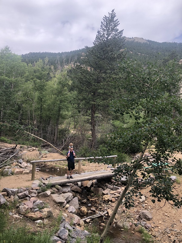
We continued downhill through the pines until we reached a small bridge over the creek. We turned right on the dirt road for the final stretch.
I took one last look back at Twin Sisters before we arrived where we parked our car. It’s amazing how much the Homer Rouse trail has changed in the last couple of years, but I think it’s still a hidden gem.