


Finding Kings River Falls
This hike is a little hard to find. When the paved road ends you might think you made a wrong turn, so I wanted to share the directions provided on the Arkansas National Heritage Commission’s website to help you find Kings River Falls. This natural area is worth the dirt road drive.
From the community of Boston on State Highway 16 (between Fallsville and St. Paul), go north on County Road 3175 (dirt) for 2.1 miles; bear right as the road forks onto County Road 3415. Stay on this road for 2.3 miles until you come to a “T” intersection with County Road 3500. Turn left, and go across the creek and park at natural area sign.

flattening the curve
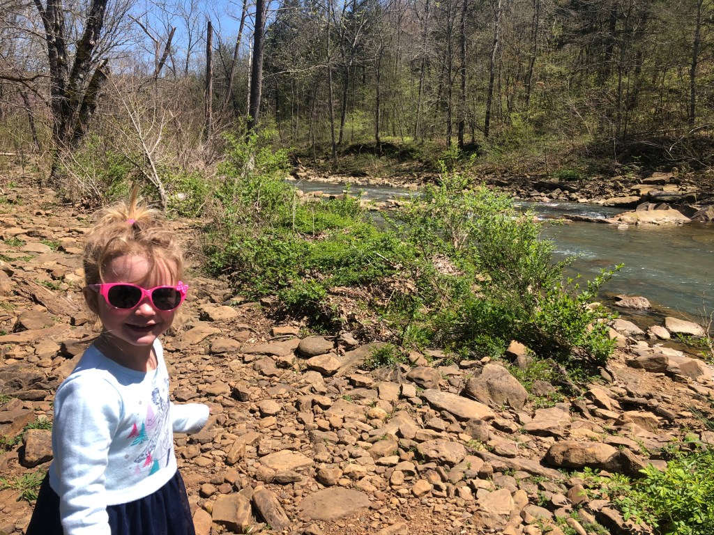
We hiked this trail on April 10, 2020. The trail was open, however signage was put up to remind hikers to practice social distancing. We saw a handful of hikers, but everyone was respectful and we felt safe. Some of Arkansas’ most popular hiking trails that were open to the public a couple of weeks ago are closed now because they were getting too crowded. I’d recommend researching potential closures before heading out.

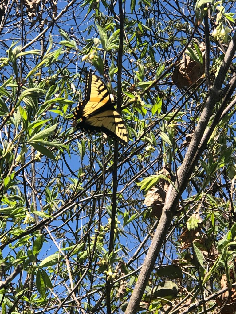
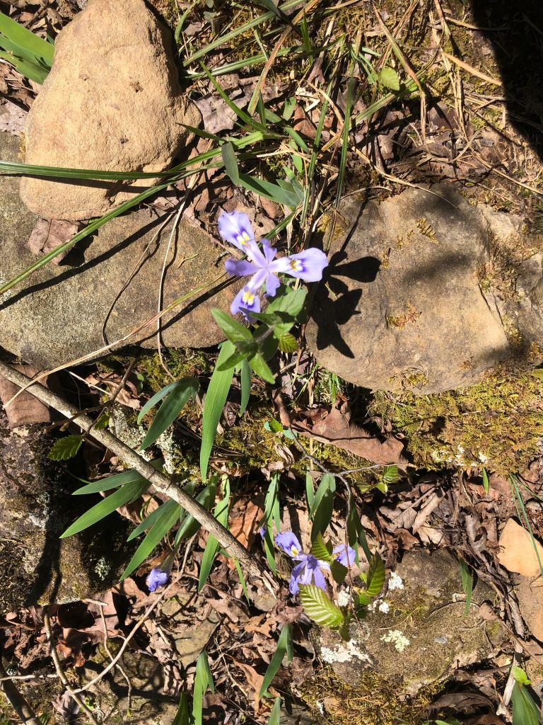
The trail starts out by following along Mitchell Creek. We enjoyed spotting a variety of wildflowers and butterflies.

Soon we crossed over a small metal bridge. The trail begins to follow along side the Kings River.


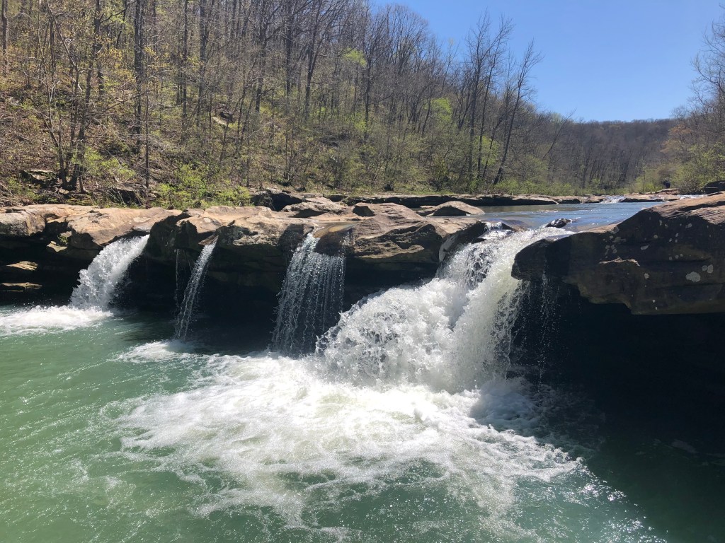
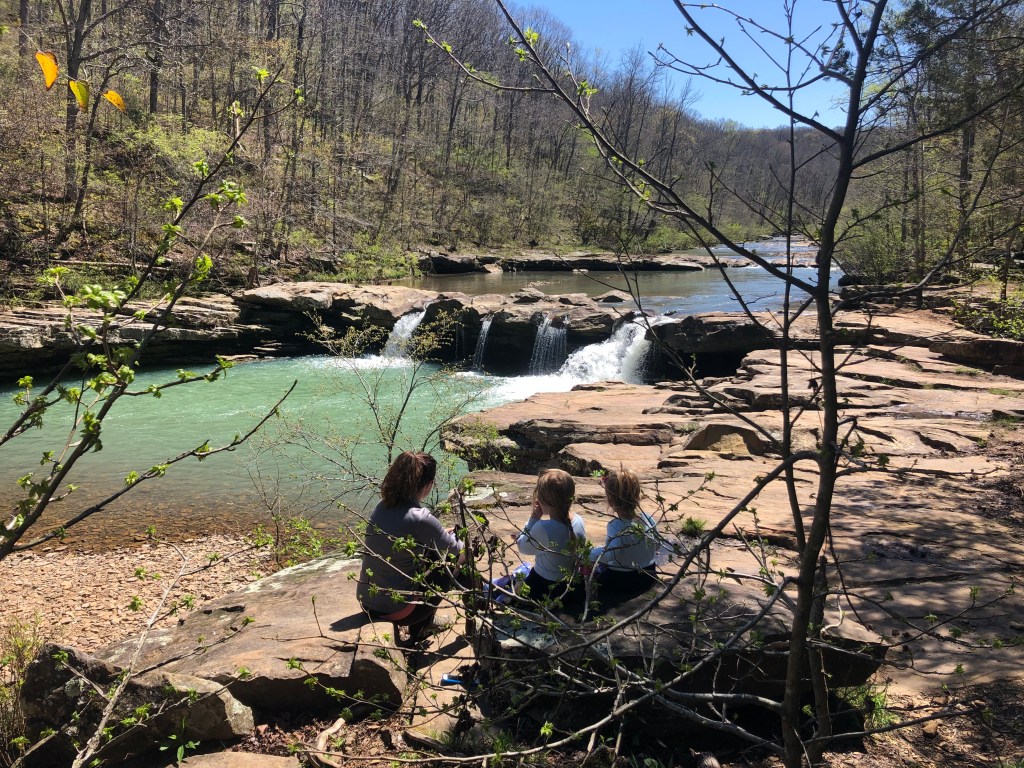
A cascade flows into the river right before the falls. The distance to Kings River Falls is only a mile. Once we arrived, we found a great spot to enjoy a snack and take in the views. We returned the same way we came, making this a 2 mile round trip adventure.
Our pre-coronavirus plans were to go to Florida over the Easter holiday. A sunny beach vacation would have been nice. However, this family hike was everything my heart needed. We are truly blessed by the natural beauty right here in our home state.
